Flood Warning and Evacuation Plans
A Flood Warning and Evacuation Plan — also known as a Flood Emergency Plan — sets out how the people on a site will be kept safe when a flood is forecast. Flood evacuation plans can be complex. They must conform to the National Planning Policy Framework (NPPF) and meet the requirements of the Local Planning Authority and the Environment Agency. They should also consider and complement existing local flood plans and measures.
Do you need a Flood Warning and Evacuation Plan?
A Flood Emergency Plan is normally required to support a planning application where a development sits in an area at risk of flooding and people need to be able to respond safely. It is commonly requested where:
- The site lies within Flood Zone 2 or 3, or is otherwise shown to be at risk of flooding.
- The development is a more vulnerable or highly vulnerable use — such as housing, schools or care facilities — where occupants may need help to evacuate.
- The site sits behind flood defences, where a breach or overtopping scenario has to be planned for.
- The Environment Agency or Lead Local Flood Authority has asked for one as a condition of a Flood Risk Assessment.
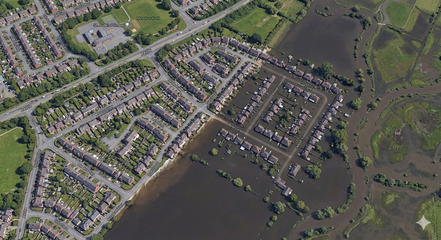
What a good plan achieves
A robust flood evacuation plan will enable you to:
- Safely evacuate large numbers of people
- Define areas of responsibility for those participating in evacuation procedures
- Establish implementation procedures
- Reduce risk to life
- Reduce financial loss resulting from a flood event
- Comply with planning requirements
What's in the plan
Every plan is tailored to the site, but a thorough Flood Warning and Evacuation Plan typically sets out:
- Flood warning triggers — how a flood is forecast and detected, including the Environment Agency's Flood Warning service and any site-specific monitoring
- Decision points and lead times — what action is taken at each warning stage and how much time is available to act
- Safe refuge and escape routes — whether occupants evacuate off site or move to a safe refuge above the flood level, and the routes they use
- Roles and responsibilities — who is responsible for raising the alarm, managing the response, and assisting vulnerable occupants
- Communication — how warnings and instructions reach everyone on site
- Testing and review — how the plan is rehearsed, kept up to date, and handed over to those who will operate it
Tailored to your development
Flood and evacuation plans may differ across various business or development types such as camping and caravanning sites, supermarkets, leisure and recreational complexes, housing developments, businesses and schools.
Water Environment can help you to understand the impact of flood risk to your residential property or business, and prepare detailed evacuation plans to ensure that residents or staff are sufficiently prepared and know how to respond in an emergency.
How we work
- Flood risk review — we establish how, how deeply and how quickly the site floods, drawing on the Flood Risk Assessment and any hydraulic modelling for the site.
- Warning and response strategy — we identify the available flood warnings and lead times and decide whether the safe approach is evacuation, refuge, or a combination.
- Plan preparation — we write a clear, site-specific plan covering triggers, roles, routes and communication, aligned with the NPPF and local flood plans.
- Planning support — we address comments from the Environment Agency, the Lead Local Flood Authority and the planning officer through to approval.
Why Water Environment?
Our directors have a combined 40+ years of specialist experience in flood risk and hydrology. Because we also prepare the Flood Risk Assessments and hydraulic modelling that a Flood Emergency Plan depends on, our plans are grounded in a precise understanding of how each site floods — not generic templates. We work across all of England and Wales for developers, businesses and public bodies.
We are members of the Chartered Institution of Water and Environmental Management (CIWEM) and hold professional qualifications with the Institution of Civil Engineers (ICE).
Related Projects
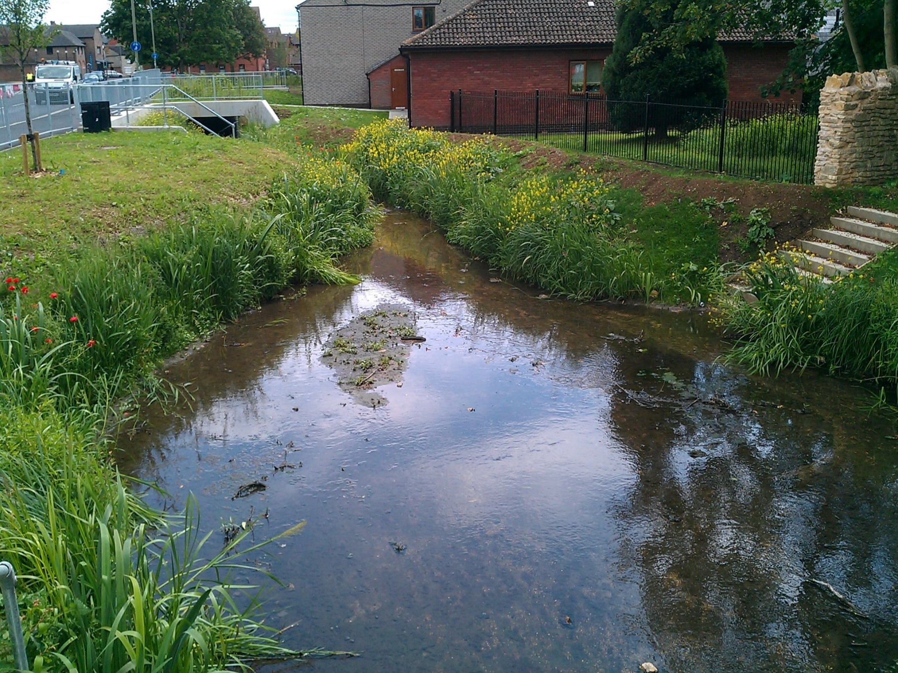
Bicester Town Centre, Oxfordshire
River Diversion · Hydraulic Modelling · Flood Risk Assessment · Environmental Permitting
Water Environment led the river diversion and environmental design for Bicester Town Centre's major regeneration scheme, relocating 180m of the canalised River Bure and creating improved habitat.

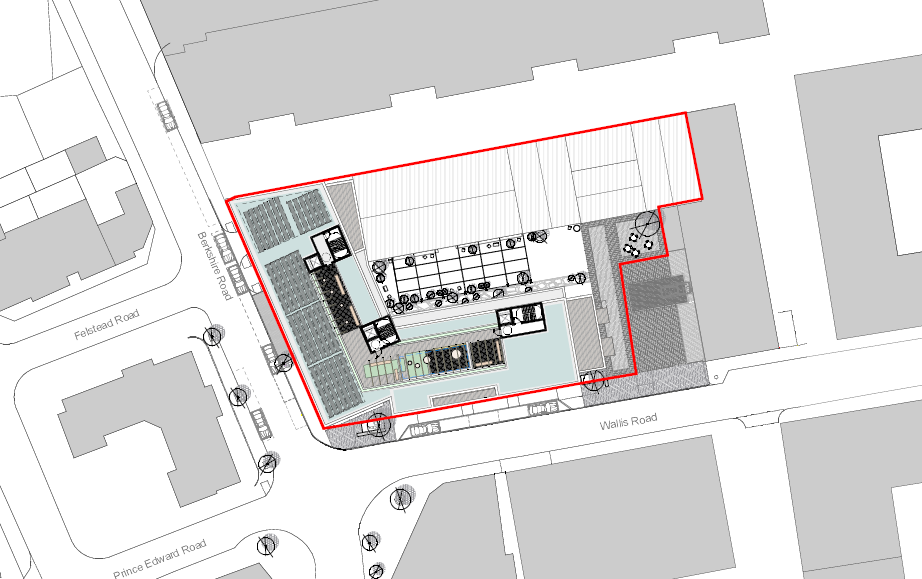
Wallis Road
Flood Risk Assessment · Flood Emergency Plan · SuDS Strategy
Water Environment provided specialist consultancy services for this project.