Wallis Road
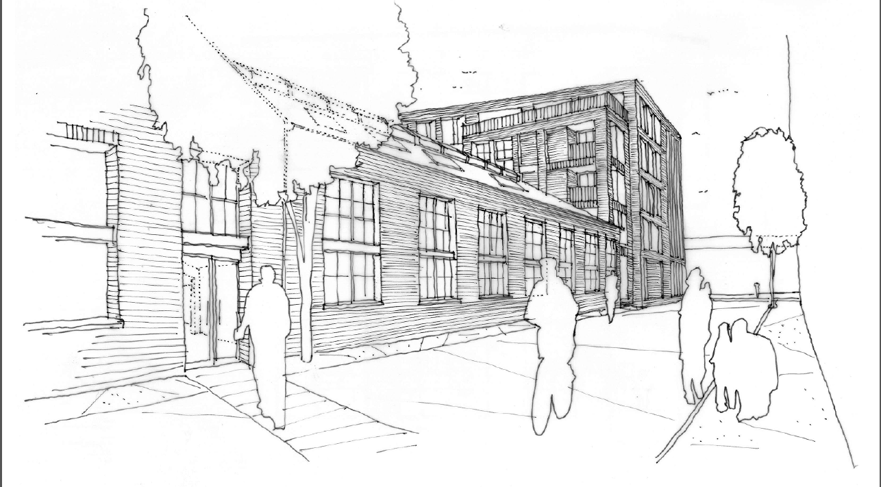
The site lies partially within Flood Zone 3 of the River Lea. Therefore, a Flood Risk Assessment was required to support the planning application of the proposed development.
Client: Stock Wool
Status: Planning Permission granted in 2016
Services
Flood Risk Services
- Flood Risk Assessment (FRA)
- Sustainable Drainage Strategy
- Flood Defence (Mitigation) Strategy
- Flood Investigation
- Hydrology & Hydraulic Modelling
- Flood Emergency Plan
- Basement Impact Assessment (BIA)
- Groundwater Flooding
- Expert Witness
Environmental Services
- Nutrient Neutrality
- Flow & Water Quality Monitoring & Sampling
- River Geomorphological Survey & Assessment
- Water Framework Directive (WFD) Assessment
- Water Resources Assessment
- Environmental Impact Assessment (EIA)
- Air Quality Assessment (AQA)
- Catchment Management Plans
- Environmental Permits, Licences & Consents
- Expert Witness
Engineering Services
- Sewerage Design
- Sustainable Drainage Systems (SuDS) Design
- Landscape Amenity & Sport Facility Drainage
- Earthworks Design
- River Design
- Roads & Driveways
- Expert Witness
Project details
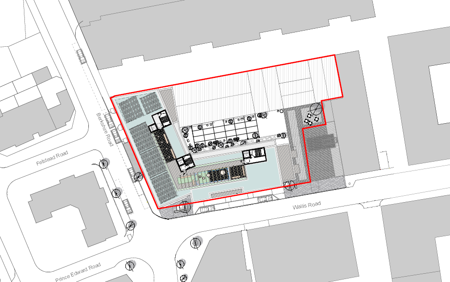
Water Environment Ltd carried out a Flood Risk Assessment which assessed flood risk from all sources.
Due to heritage reasons the development had to set finished flood levels at existing levels.
The development proposed to implement flood resilient construction techniques, a flood warning system, flood doors to basement levels and internal access to higher levels. A flood evacuation plan was also developed for the users of the development explaining flood risk and the route to take to safety when flooding occurs.

Due to local planning policy, outlined by Tower Hamlets, London Development Corporation and the London Plan, a SuDS strategy was also required.