Flood Risk Assessments (FRA)
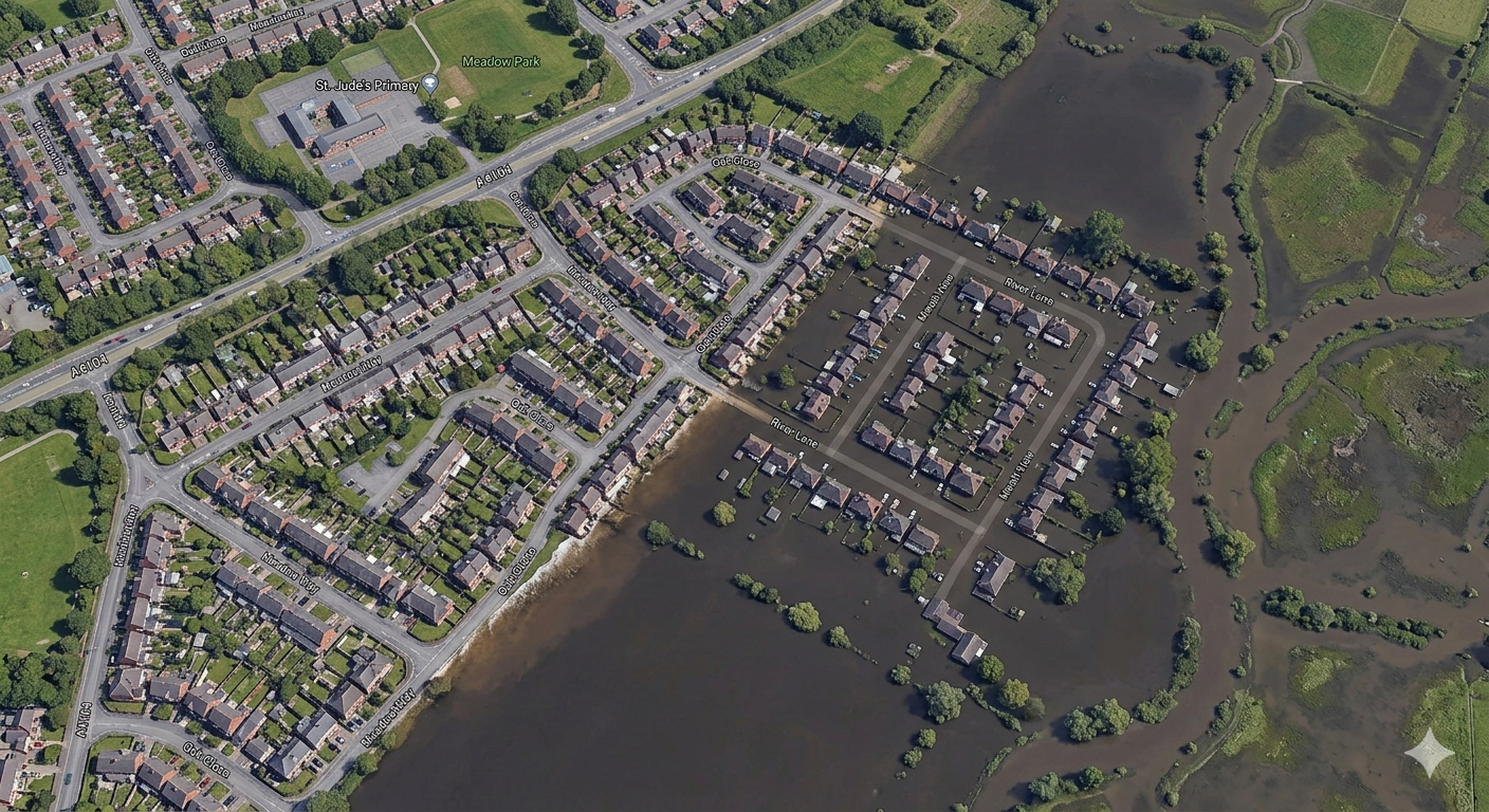
A Flood Risk Assessment (FRA) is a technical report submitted alongside a planning application to demonstrate that a proposed development is safe from flooding, will not increase flood risk elsewhere, and incorporates appropriate mitigation. Getting this right — and getting it done on time — is often the difference between a planning application being approved or refused.
Do I need a Flood Risk Assessment?
Under the National Planning Policy Framework (NPPF), an FRA is required if any of the following apply to your site:
- The site falls within Flood Zone 2 or 3, regardless of the size of the site or scope of the works.
- Any site exceeding 1 hectare requires an FRA even if it sits entirely within Flood Zone 1.
- Since April 2015, the Lead Local Flood Authority has been a statutory consultee for surface water on major developments, defined as 10 or more residential units or 1,000m² or more of non-residential floor space.
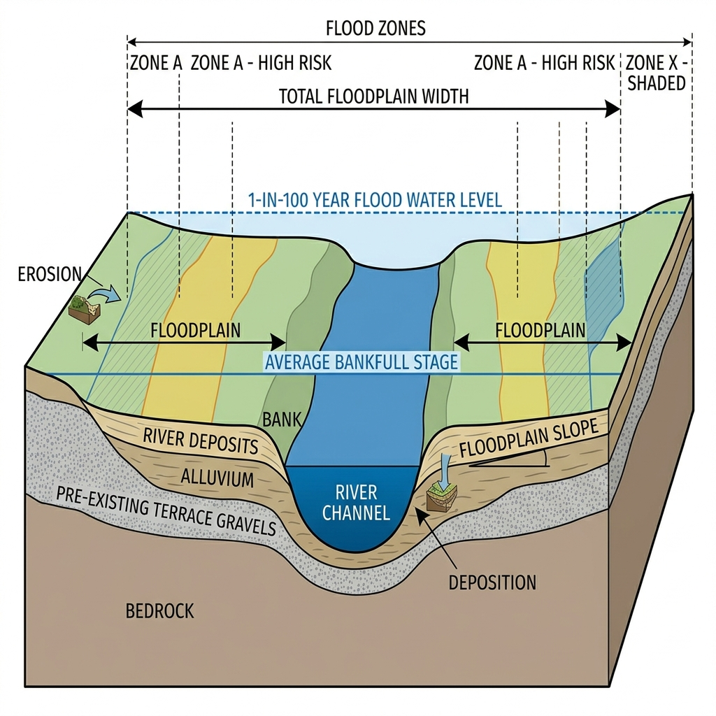
What do the flood zones mean?
The Environment Agency divides land into four flood zones based on the probability of flooding from rivers and the sea (not surface water):
| Zone | Probability | What it means in practice |
|---|---|---|
| Flood Zone 1 | Less than 1 in 1,000 year (< 0.1%) | Low probability. Most development acceptable subject to site conditions. |
| Flood Zone 2 | 1 in 100 to 1 in 1,000 year (0.1–1%) | Medium probability. FRA required for all development. |
| Flood Zone 3a | Greater than 1 in 100 year (> 1%) | High probability. FRA required. Vulnerable uses may need the Exception Test. |
| Flood Zone 3b | The functional floodplain | Land that floods frequently or is designed to flood. Most built development is not permitted. |
The flood zones shown on the EA's maps are based on regional modelling and are often inaccurate at site level. We regularly use detailed hydraulic modelling to demonstrate that a site is in a lower zone than the map suggests — unlocking sites that appear undevelopable at first glance.
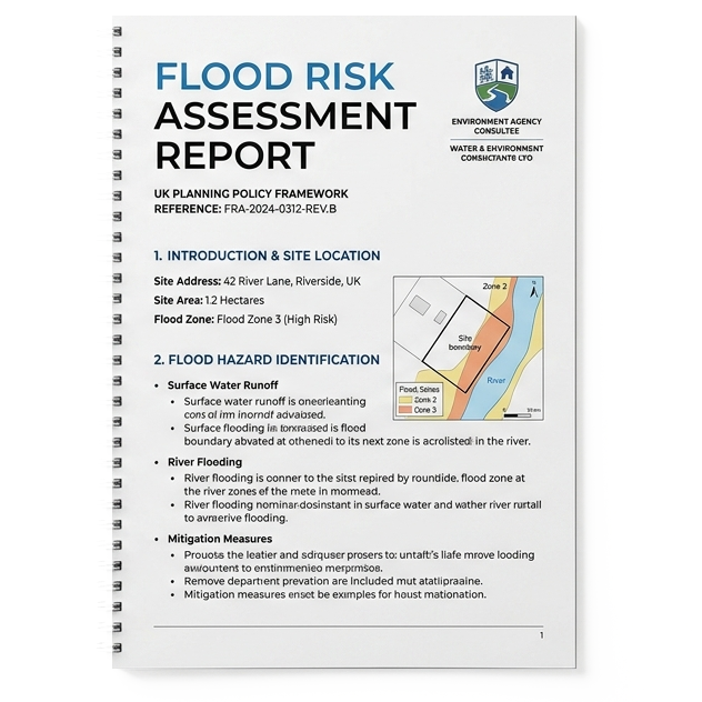
What flood sources does an FRA cover?
A thorough FRA must consider all relevant sources of flooding, not just the nearest river. We assess risk from:
- Fluvial flooding — rivers and watercourses overtopping their banks
- Tidal flooding — coastal and estuarial inundation
- Surface water flooding — intense rainfall overwhelming drainage systems
- Groundwater flooding — rising water table affecting basements and low-lying land
- Sewer flooding — capacity exceedance in foul and combined sewers
- Reservoir flooding — inundation in the event of a dam or reservoir failure
- Canal and artificial source flooding — raised water bodies and infrastructure failures
What are the Sequential Test and Exception Test?
For sites in Flood Zones 2 and 3, the planning system requires additional justification that the site is the most appropriate location for the proposed development.
The Sequential Test
The Sequential Test requires the applicant to demonstrate that there are no reasonably available alternative sites in a lower flood zone that could accommodate the development. It is applied by the Local Planning Authority but must be addressed in the FRA. We prepare the Sequential Test argument as part of every relevant FRA, evidencing site availability and suitability in the local area.
The Exception Test
Where the Sequential Test has been passed but the development remains in a high-risk zone — or involves a vulnerable use — the Exception Test must also be satisfied. It has two parts:
- The development must provide wider sustainability benefits to the community that outweigh flood risk
- The development must be safe for its lifetime without increasing flood risk elsewhere
Passing the Exception Test requires careful preparation. We work with clients and their planning consultants from the earliest stage to build the strongest possible case.
How does climate change affect my assessment?
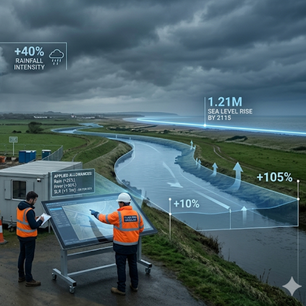
The Environment Agency's flood zone maps do not account for the future effects of climate change. All FRAs must assess how flooding could change over the lifetime of the development, using the EA's climate change allowances:
- Rainfall intensity — increase of 10% to 40% depending on the development type and location
- River flood flows — increase of 10% to 105% depending on the river basin and vulnerability
- Sea level rise — cumulative rise of up to 1.21m by 2115
We apply the correct allowances for your specific site, development type and risk epoch — something that is regularly done incorrectly in FRAs produced without specialist hydrological expertise, leading to objections from the Environment Agency.
How we work
We keep the process straightforward and keep you informed at every stage.
- Free feasibility check — we review your site against EA flood map data and tell you what level of FRA is required, what the risks look like, and what the likely planning position is. No charge, no obligation.
- Technical assessment — we gather all relevant datasets: EA flood zone and modelled data, historical flood records, local drainage records, geology and groundwater data. Where the EA mapping is inaccurate, we undertake bespoke hydraulic modelling to establish the true flood risk at the site.
- FRA report — we produce a clear, well-structured FRA that directly addresses the NPPF requirements, the Sequential and Exception Tests where needed, and any specific requirements of the Local Planning Authority or Lead Local Flood Authority.
- Planning support — we respond to technical queries from the Environment Agency, the LLFA and the planning officer, and can attend pre-application meetings on your behalf.
Why Water Environment?
Our directors have a combined 40+ years of specialist experience in flood risk and hydrology. We work across all of England and Wales, and our clients include private developers, large housebuilders, national infrastructure programmes and specialist planning consultancies.
We are members of the Chartered Institution of Water and Environmental Management (CIWEM) and hold professional qualifications with the Institution of Civil Engineers (ICE).
Related Projects
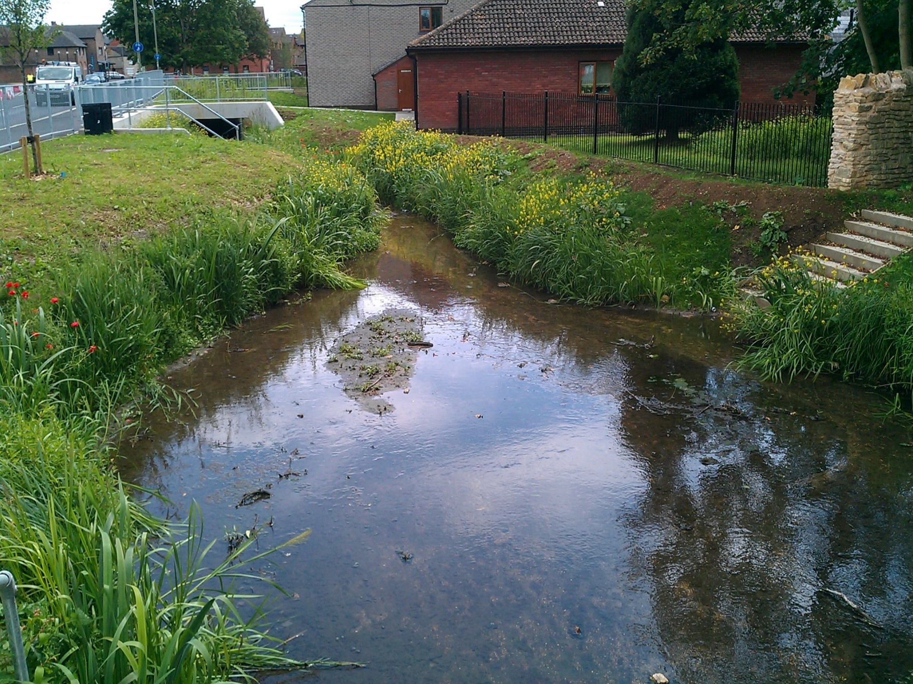
Bicester Town Centre, Oxfordshire
River Diversion · Hydraulic Modelling · Flood Risk Assessment · Environmental Permitting
Water Environment led the river diversion and environmental design for Bicester Town Centre's major regeneration scheme, relocating 180m of the canalised River Bure and creating improved habitat.
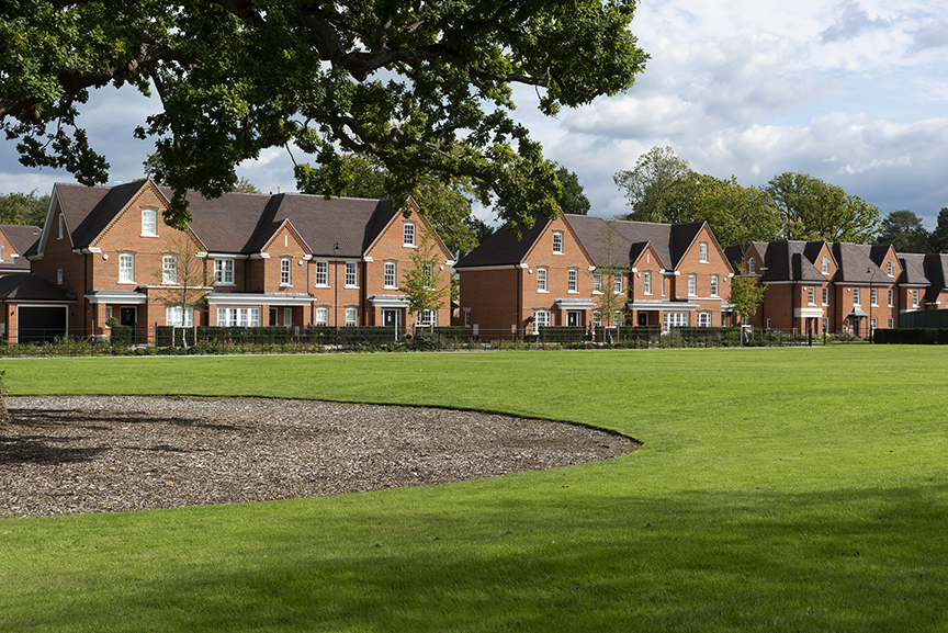
Broadoaks Estate, West Byfleet
Flood Risk Assessment · Sustainable Drainage (SuDS) Strategy · Foul & Surface Water Drainage Design
Since 2015, Water Environment Ltd has supported Octagon Developments at Broadoaks Estate, West Byfleet, providing an FRA and SuDS strategy for a 14.3 ha brownfield site with 179 new dwellings.
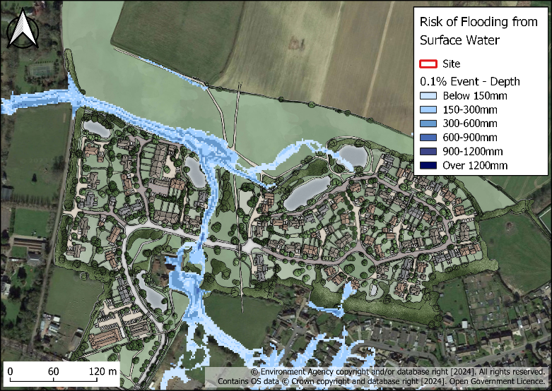
Elm Tree Farm
Nutrient Neutrality · Flood Risk Assessment · SuDS Strategy
Water Environment provided specialist consultancy services for this project.
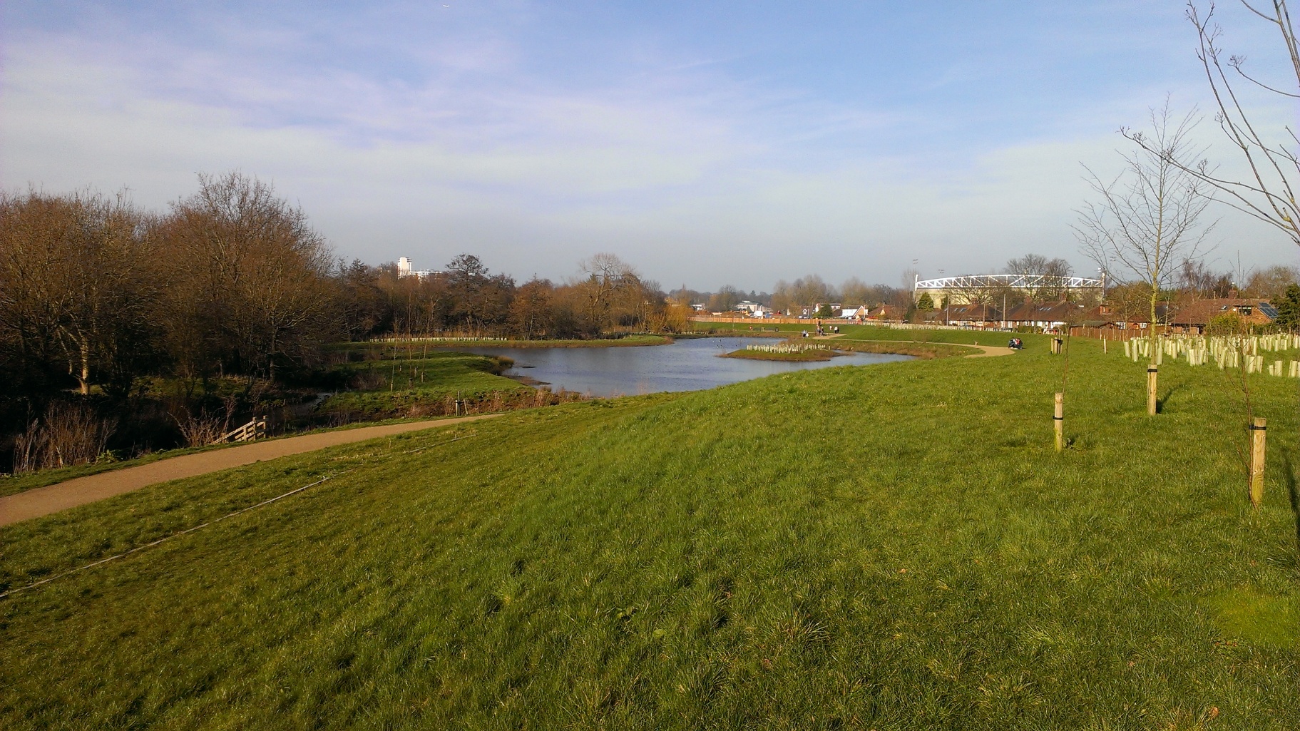
Hoe Valley Flood Defence, Woking
Flood Defence Strategy · Hydrology & Hydraulic Modelling · River Design · Earthworks Design
Water Environment worked with Woking Borough Council over four years to design and deliver a £60m linear park and flood defence scheme, protecting hundreds of homes from repeated flooding on the River Hoe.
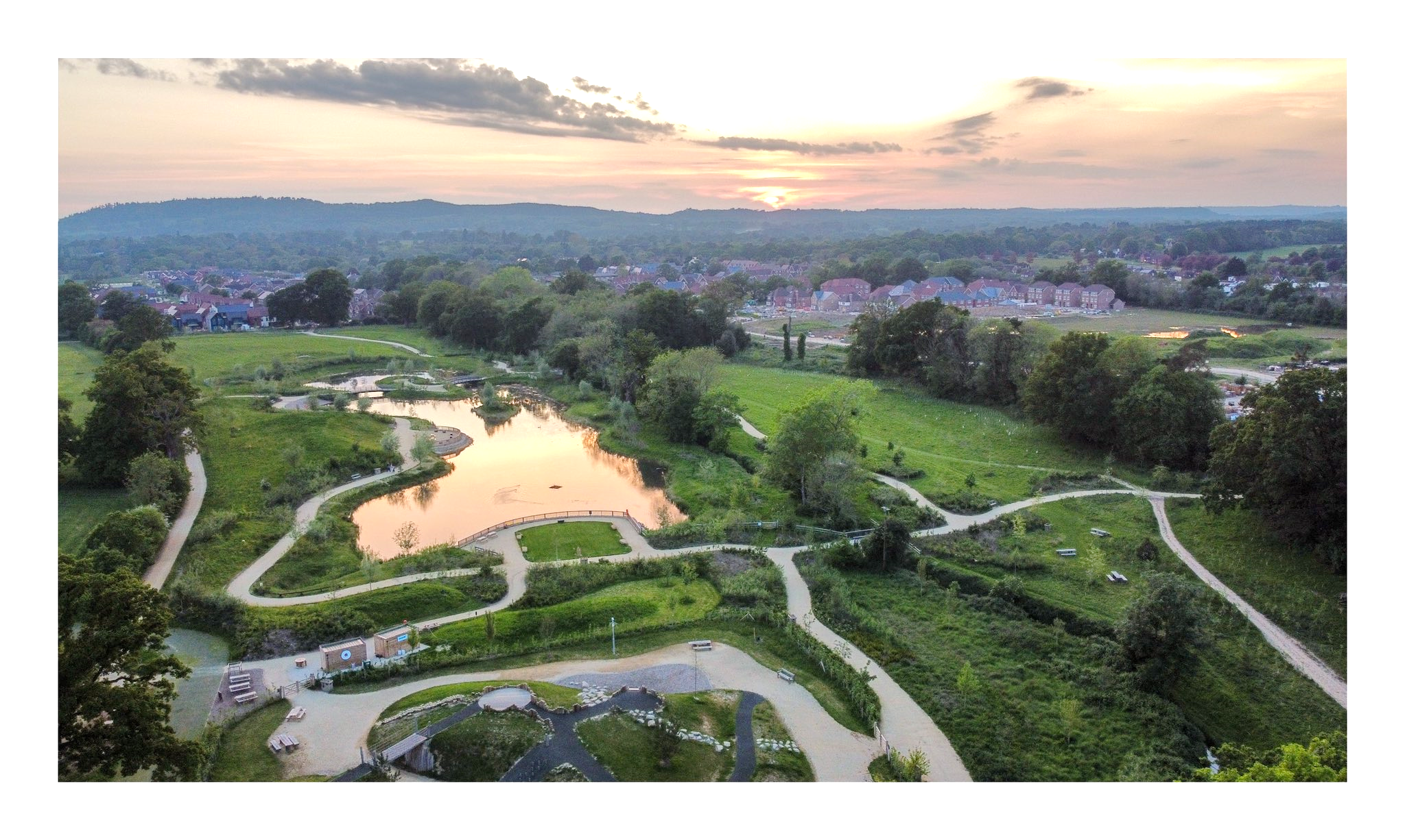
Knowle Park
Hydraulic Modelling · River Design · WFD Assessment · Geomorphology
Water Environment provided specialist consultancy services for this project.
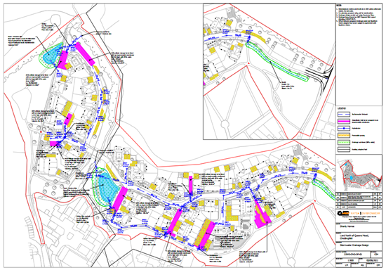
Land North of Queens Mead
Flood Risk Assessment · Hydraulic Modelling · SuDS Strategy · Roads
Water Environment provided specialist consultancy services for this project.
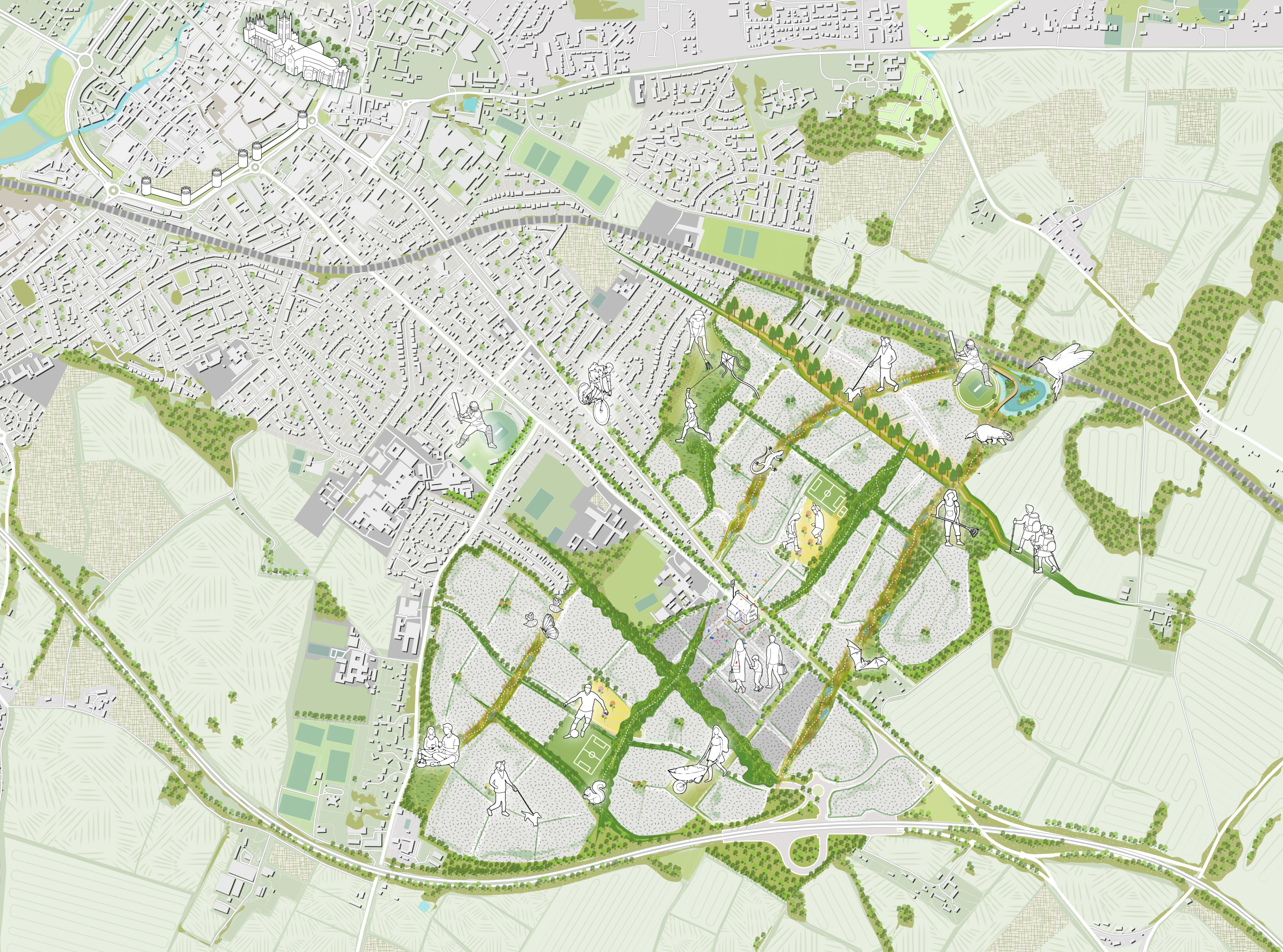
Mountfield Park
Flood Risk Assessment · SuDS & Foul Drainage · Nutrient Neutrality · EIA · Air Quality
Water Environment provided specialist consultancy services for this project.
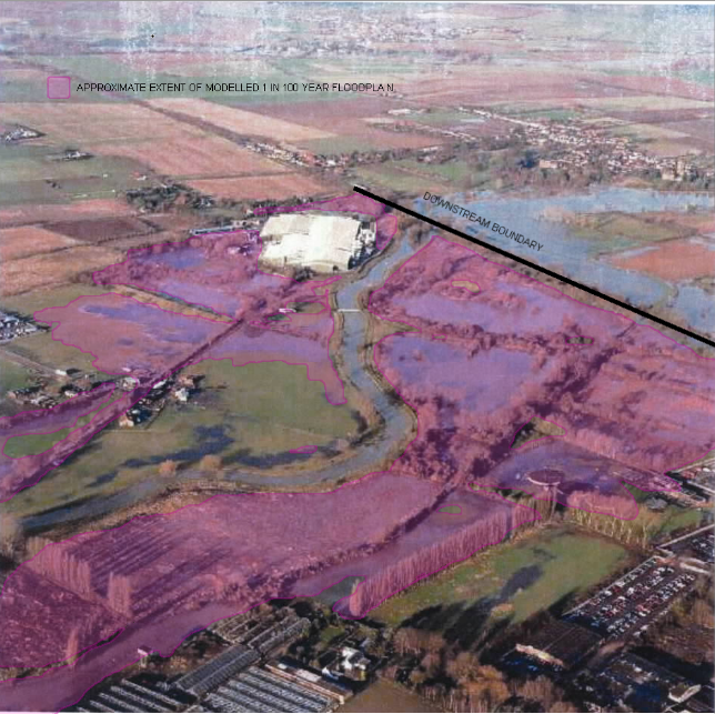
Sandy, Bedfordshire
Hydraulic Modelling · Flood Risk Assessment · SuDS Strategy · Groundwater
Water Environment provided specialist consultancy services for this project.
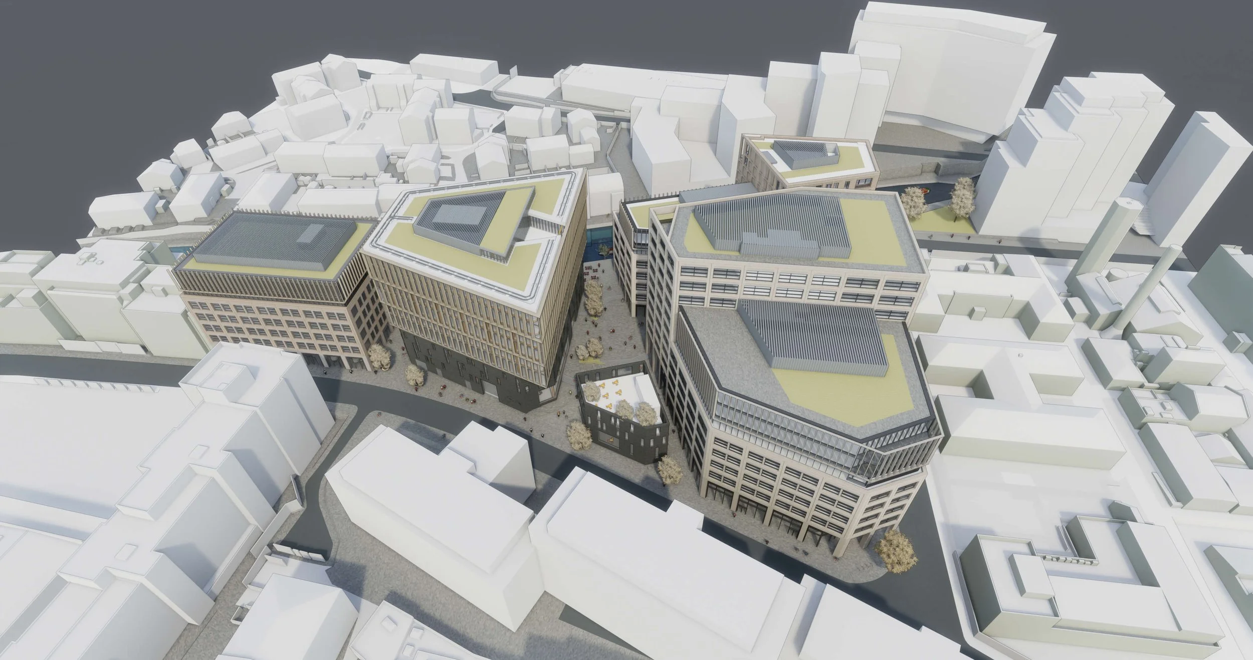
Tribeca London
Flood Risk Assessment · Hydraulic Modelling · Sustainable Drainage (SuDS) Strategy · Nature-Based Solutions
Water Environment designed an innovative FRA and SuDS strategy for Reef Group's London life-sciences and residential scheme, using advanced blue/green roofs to meet strict sewer discharge limits.
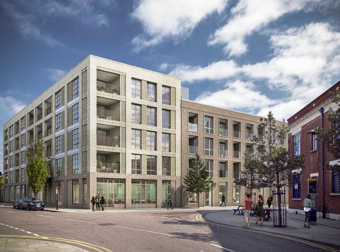
Wallis Road
Flood Risk Assessment · Flood Emergency Plan · SuDS Strategy
Water Environment provided specialist consultancy services for this project.
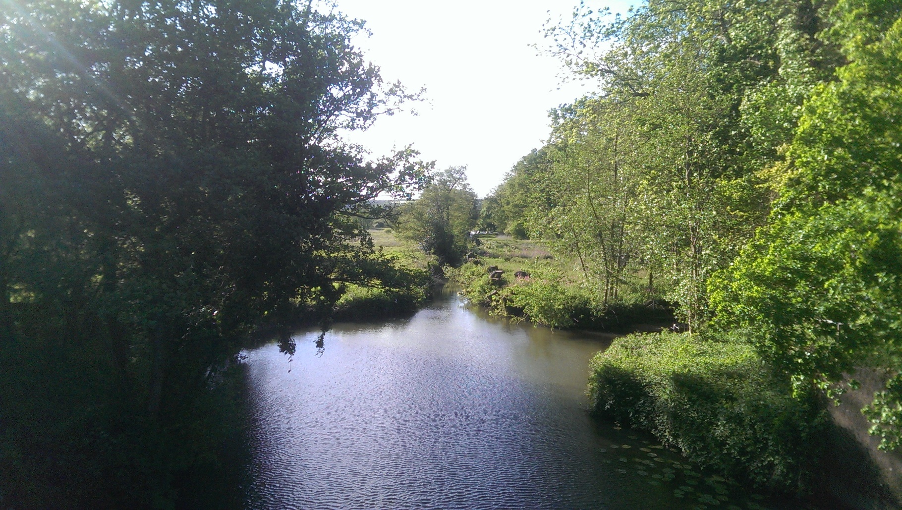
Wey and Arun Canal
Hydraulic Modelling · Flood Risk Assessment · River Design · WFD Assessment
Water Environment provided specialist consultancy services for this project.
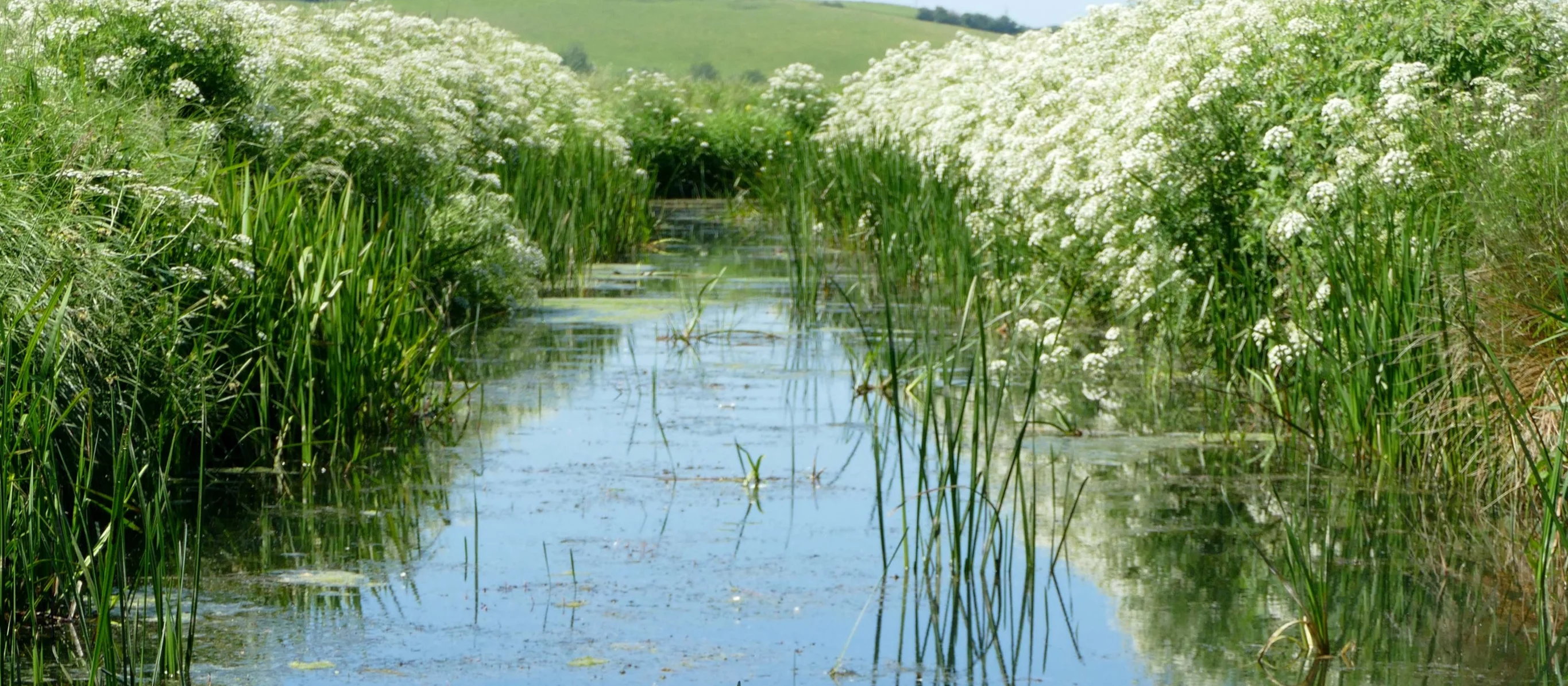
Winchelsea Landscape Revival
Flood Risk Assessment · Hydrological Modelling · Environmental Impact Assessment · Nature-Based Solutions
Water Environment assessed water features for the National Trust at Crutches Farm, East Sussex. The National Highways joint project delivers off-site biodiversity credits to meet UK BNG requirements.