Winchelsea Landscape Revival
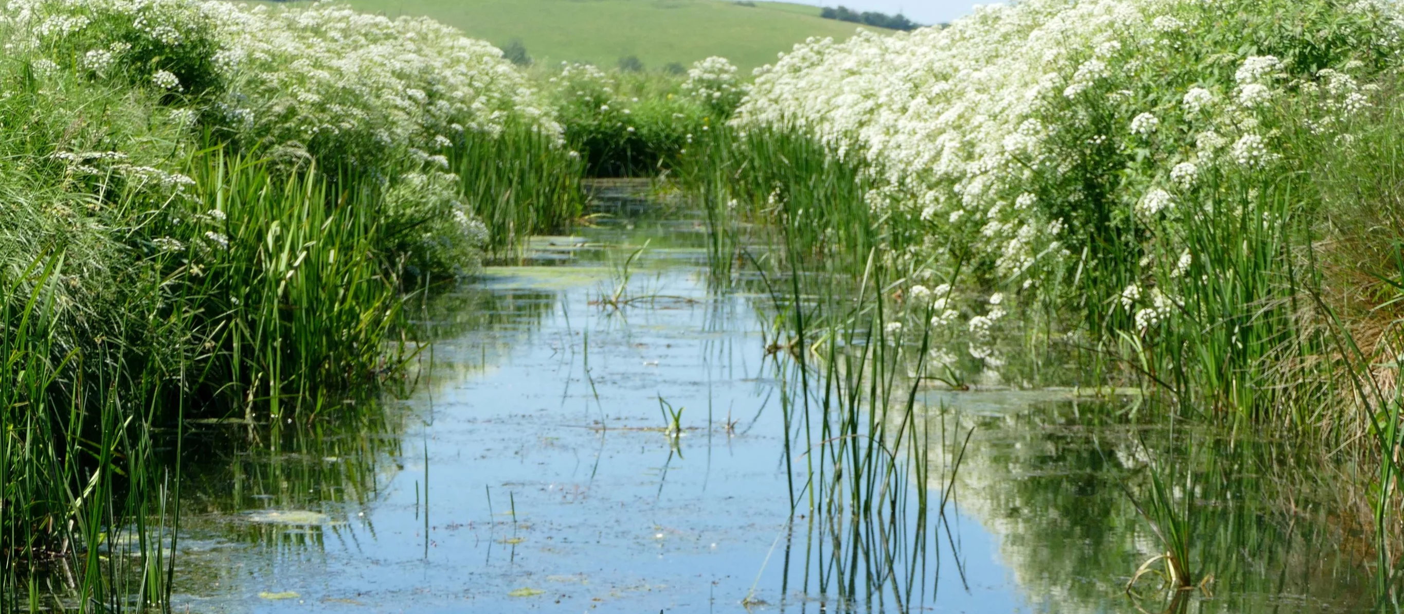
Water Environment was engaged by the National Trust to test the feasibility of introducing water features in the landscape for the purposes of increasing biodiversity on Crutches Farm, immediately west of the town of Winchelsea, East Sussex. The project was a joint initiative between the National Trust and National Highways, aimed at delivering off-site biodiversity credits to mitigate the impacts of essential highway construction in the UK and comply with the latest requirements for Biodiversity Net Gain in UK planning law. The project required an innovative approach using advanced techniques and data analysis to deliver technical solutions within the floodplain of the River Brede.
Client: The National Trust
Key Personnel: Tony Clothier, Gabriel Eve, Fiona de Mauny
Status: Under construction (for completion in Spring 2025)
Services
Flood Risk Services
- Flood Risk Assessment (FRA)
- Sustainable Drainage Strategy
- Flood Defence (Mitigation) Strategy
- Flood Investigation
- Hydrology & Hydraulic Modelling
- Flood Emergency Plan
- Basement Impact Assessment (BIA)
- Groundwater Flooding
- Expert Witness
Environmental Services
- Nutrient Neutrality
- Flow & Water Quality Monitoring & Sampling
- River Geomorphological Survey & Assessment
- Water Framework Directive (WFD) Assessment
- Water Resources Assessment
- Environmental Impact Assessment (EIA)
- Air Quality Assessment (AQA)
- Catchment Management Plans
- Environmental Permits, Licences & Consents
- Expert Witness
Engineering Services
- Sewerage Design
- Sustainable Drainage Systems (SuDS) Design
- Landscape Amenity & Sport Facility Drainage
- Earthworks Design
- River Design
- Roads & Driveways
- Expert Witness
Project details
The opportunity came about due to an underperforming farm owned by the National Trust and sited on low-lying land in the floodplain of the River Brede. The farm was plagued with problems of flooding and raised groundwater, making it difficult to work. Water Environment was approached by Andrews Wildlife Consultants (AWC) for ideas on how best to retain water on the landscape during drier periods, in order to make the site more attractive to wildlife, while retaining its use as niche agricultural grazing land.
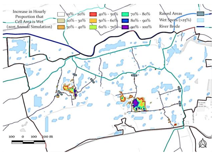
A detailed analysis of the ancient landscape was carried out using LiDAR data in order to identify locations where land drainage ditches could be blocked off in order to encourage a wetter landscape compared to the baseline conditions. The idea is to reverse man-made drainage, increasing the probability of areas remaining wet for long periods after rainfall events, thereby providing natural water features in the landscape. A full hydrological model was developed for this analysis, taking account of Met Office wind and rainfall data, ground infiltration characteristics and evapotranspiration. Simulations of baseline and proposed states were run using real data in order to test the feasibility of the proposals and unlock funding streams. The work was then used for EIA and to inform the main site development strategy.
In addition, seven large shallow scrapes were introduced into the landscape, also using LiDAR data to identify sites without increasing the risk of flooding.
Having completed the work, after only a few weeks, local wildlife were taking advantage of the new water features. Over time the landscape will develop naturally and will be monitored for research.
Partners: Andrews Wildlife Consultants