Groundwater Analysis
Groundwater and surface water bodies are connected and due consideration must be given to risks associated with water above and below the ground surface. Unseen and often forgotten, groundwater can pose a number of problems to potential development sites, from flood risk to basements to potential water quality and contamination issues.
Groundwater flooding
Groundwater flooding occurs when the water table rises above the ground surface, or above the floor level of a basement or below-ground structure. It is most common in low-lying areas and in permeable geologies such as chalk, where the water table can respond to prolonged wet weather, and it can persist for weeks once it occurs. Unlike river and surface water flooding, it leaves little visible trace, so it is frequently overlooked until it affects a development.
An assessment of groundwater flood risk establishes the likely range of water levels beneath a site, the risk to basements and foundations, and the measures needed to manage it — informing finished floor levels, waterproofing, and the feasibility of infiltration drainage.
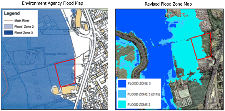
Ground conditions and geology
The British Geological Survey hold bedrock and superficial geology maps of the whole of the UK. The physical ground conditions beneath a site have a number of implications, from the feasibility of soakaways to the installation of basements.
How we can help
Water Environment can provide assessment on the likely risks to your development from groundwater, and can provide advice on how your development can work with local ground conditions. Our specialist team of engineers and scientists also have experience in assessment of potential impacts of proposed development on groundwater bodies, including flow to abstraction boreholes and groundwater-dependent ecosystems, and quality risk to linked water supply and habitats.
How we work
- Desk study — we review British Geological Survey mapping, borehole records, Environment Agency groundwater data and the site's flood history to establish the groundwater setting.
- Risk assessment — we assess the likely water table range and the risk it poses to basements, foundations and proposed drainage, including the feasibility of soakaways and infiltration.
- Advice and mitigation — we advise on how the development can work with local ground conditions, from finished floor levels and waterproofing to drainage strategy.
- Reporting — we set out the findings in a clear assessment suitable for planning and to support a Flood Risk Assessment or Basement Impact Assessment.
Why Water Environment?
Our directors have a combined 40+ years of specialist experience in flood risk and hydrology, and our specialist team of engineers and scientists routinely assess groundwater alongside river, surface water and drainage risk. Because we consider water above and below ground together, our groundwater assessments join up with the wider flood risk and drainage picture for your site rather than sitting in isolation. We work across all of England and Wales.
We are members of the Chartered Institution of Water and Environmental Management (CIWEM) and hold professional qualifications with the Institution of Civil Engineers (ICE).
Related Projects
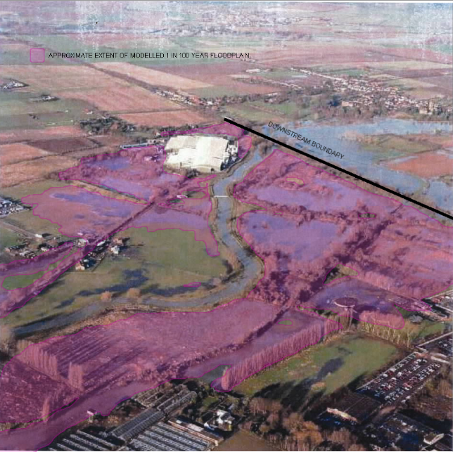
Sandy, Bedfordshire
Hydraulic Modelling · Flood Risk Assessment · SuDS Strategy · Groundwater
Water Environment provided specialist consultancy services for this project.
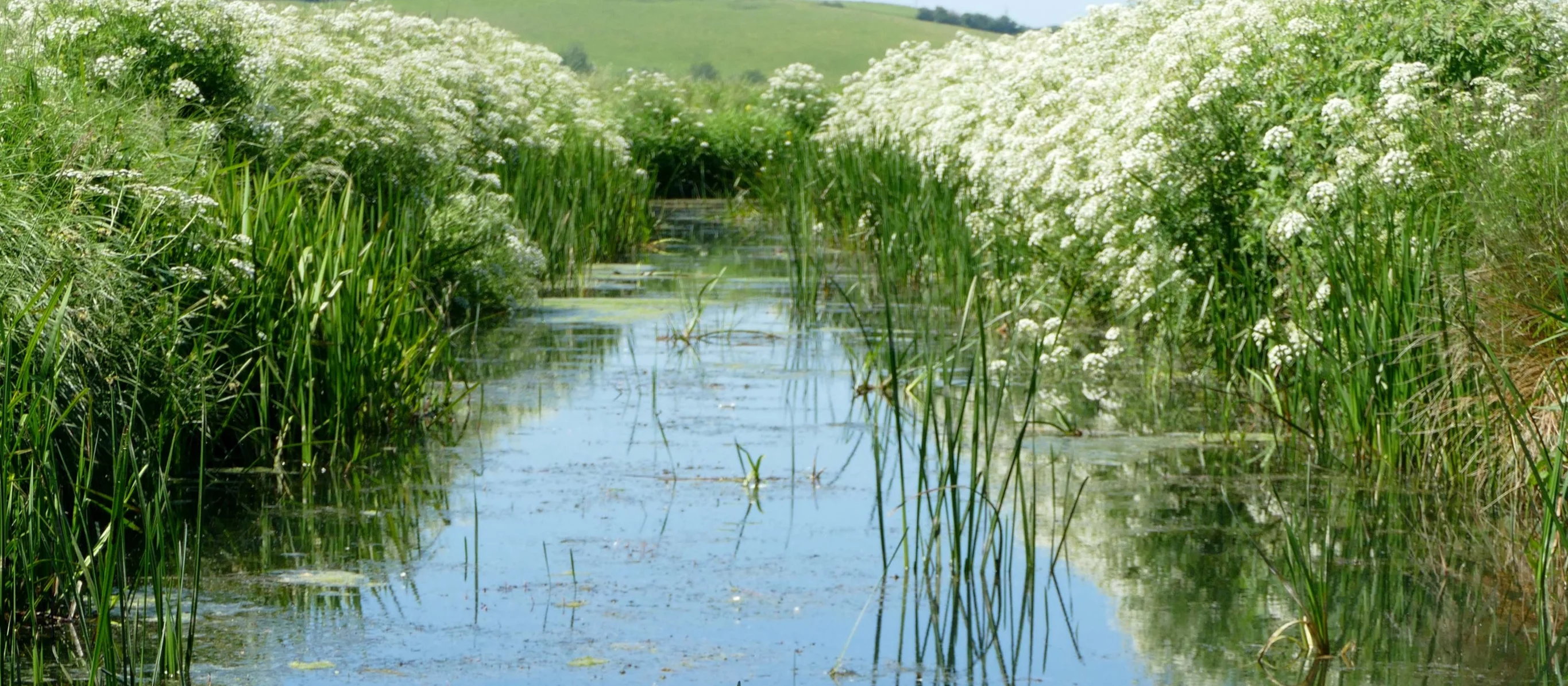
Winchelsea Landscape Revival
Flood Risk Assessment · Hydrological Modelling · Environmental Impact Assessment · Nature-Based Solutions
Water Environment assessed water features for the National Trust at Crutches Farm, East Sussex. The National Highways joint project delivers off-site biodiversity credits to meet UK BNG requirements.