Earthworks Design
Earthworks design shapes land — defining levels, managing the movement of soil and fill, and creating the ground conditions on which everything else is built. Whether balancing cut and fill across a large residential site, compensating for lost floodplain storage, or forming lakes and ecological features, getting the earthworks right early saves significant cost and programme time downstream.
Cut and fill optimisation
On any development site where ground levels need to change, material must either be moved within the site or imported and exported by lorry. Minimising net import and export reduces haulage costs, programme risk, and the carbon footprint of the project — but only if the earthworks are designed from the outset with balance in mind.
We use ground modelling software to calculate accurate volumes from topographic survey data and design the proposed levels to achieve the best possible balance. Our assessments account for:
- Bulking and shrinkage factors — soil changes volume when excavated and recompacted; these factors must be applied correctly or the balance will be wrong
- Material suitability — not all excavated material is suitable for reuse as structural fill; cohesive soils, made ground, and chemically affected soils may need to be taken off site
- Structural fill requirements — areas beneath roads, buildings, and retaining structures have specific compaction and bearing specifications
- Phasing — on large sites, balancing material across construction phases requires a sequenced earthworks strategy, not just an overall volume check
Landscaping groundworks
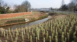
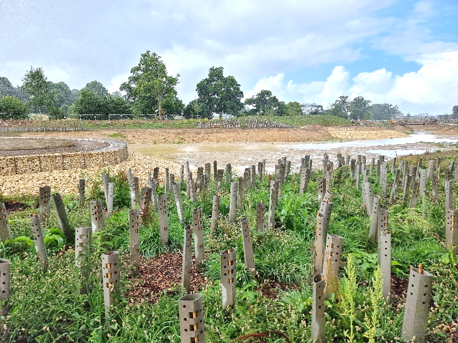
Development sites often include significant areas of amenity land — lakes, ponds, wetlands, sports pitches, parkland — that require earthworks as substantial as the built infrastructure. These features are frequently left to a late design stage, which causes programme problems when the volumes involved are larger than anticipated.
We design and specify the earthworks for:
- Amenity and ecology lakes — profiling, marginal shelves, inlet and outlet structures, and bank protection
- Sports field construction — formation levels, drainage falls, and rootzone specifications for natural turf pitches
- Land drainage improvement — regrading of agricultural and amenity land to improve surface drainage and reduce waterlogging
- Biodiversity enhancement — creation of scrapes, bunds, channels, and varied topography to support ecological objectives
Our water and environmental background means we are well placed to coordinate landscaping earthworks with drainage design, habitat creation, and hydrological requirements — areas where a purely civil engineering approach often falls short.
Floodplain compensation earthworks
When development encroaches on the functional floodplain — Flood Zone 3b — planning policy requires that any loss of flood storage volume is replaced on a like-for-like basis, at the same location relative to flood levels. This is floodplain compensation, and the earthworks design is central to demonstrating compliance.
Poorly designed compensation can satisfy the volume requirement on paper but fail hydraulically — by being in the wrong flood zone, at the wrong level, or in a location where it does not connect to the floodplain at the design flood event. We design compensation schemes that work as intended:
- Volume calculations that correctly account for the loss and the gain, referenced to the appropriate flood return periods
- Level design that ensures the compensation area is inundated at the same frequency as the land it replaces
- Hydraulic verification that the scheme does not increase flood risk to third parties
- Coordination with ecological and habitat requirements — compensation areas are frequently designed to serve dual purpose as wetland habitat
We have designed floodplain compensation earthworks on schemes ranging from small residential extensions into the floodplain through to major infrastructure projects relocating hundreds of metres of river corridor.
Standards and design basis
Earthworks design is governed by several overlapping standards and regulatory frameworks. We design to and specify compliance with:
- BS 6031:2009 — the principal British Standard for earthworks, covering investigation, materials, design, and supervision
- Eurocode 7 (BS EN 1997) — geotechnical design of slopes, retaining structures, and embankments
- DMRB and MCHW — where earthworks form part of a highway scheme adopted under the Highways Act
- Environment Agency requirements — for earthworks within or adjacent to the floodplain, including the Flood Risk Activity permit framework
- Waste framework regulations — excavated material classified as waste must be handled and tracked under the appropriate exemptions or permits
Where a geotechnical ground investigation is required to inform the design, we coordinate the procurement and interpretation of that investigation as part of our scope.
How we work
- Site assessment — we review topographic survey data, geotechnical information, and the proposed development layout to understand the earthworks challenge and identify constraints early.
- Ground modelling and volume calculations — we build a surface model of existing and proposed levels and calculate cut, fill, and net movement volumes. We test alternative level strategies to find the most cost-effective balance.
- Earthworks design and specification — we produce a detailed earthworks drawing package and specification, coordinated with the drainage, structural, and landscape designs.
- Regulatory submissions — where the earthworks require Environment Agency consent, planning conditions discharge, or permit applications, we prepare and submit the supporting documentation.
- Construction support — we can provide technical review of contractor proposals, attend site during earthworks construction, and prepare verification reports for submission to the relevant authority.
Why Water Environment?
Our earthworks design capability sits within a broader water and environmental engineering practice. This matters because earthworks rarely stand alone — they interact with drainage, flood risk, ecology, and planning in ways that a specialist earthworks-only service often misses. Our directors have over 40 years of combined experience designing earthworks on complex sites, and we regularly work on projects where the earthworks and the hydrological design need to be resolved together from the outset.
We are members of the Chartered Institution of Water and Environmental Management (CIWEM) and hold professional qualifications with the Institution of Civil Engineers (ICE).
Related Projects
Hoe Valley Flood Defence, Woking
Flood Defence Design · River Design · Earthworks Design · Hydraulic Modelling
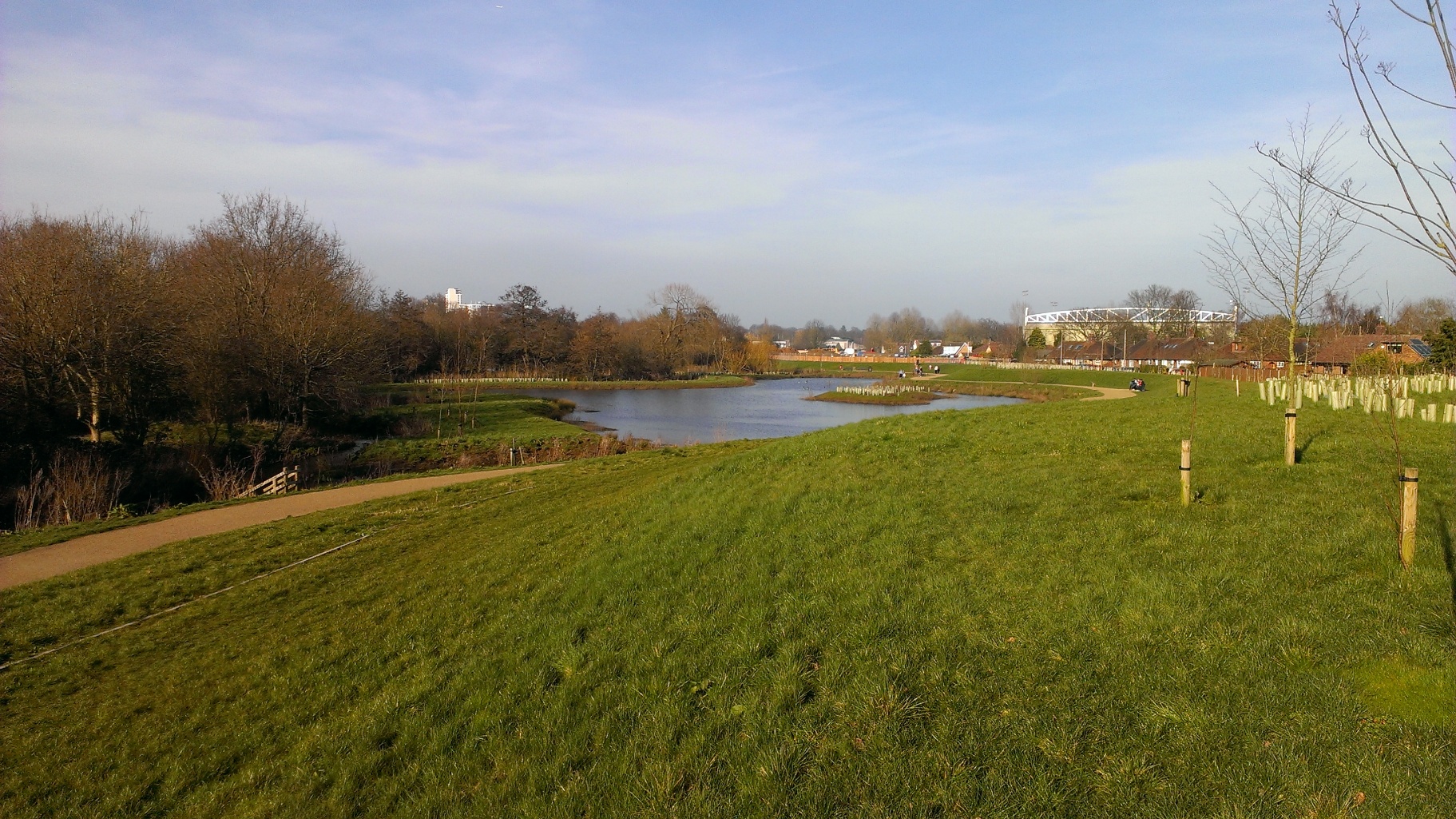
Water Environment designed and delivered earthworks for Woking Borough Council's £60m linear park and flood defence scheme, including major channel re-profiling and floodplain compensation along the River Hoe.
Knowle Park
Earthworks Design · Landscape Amenity Drainage · River Design · Hydraulic Modelling
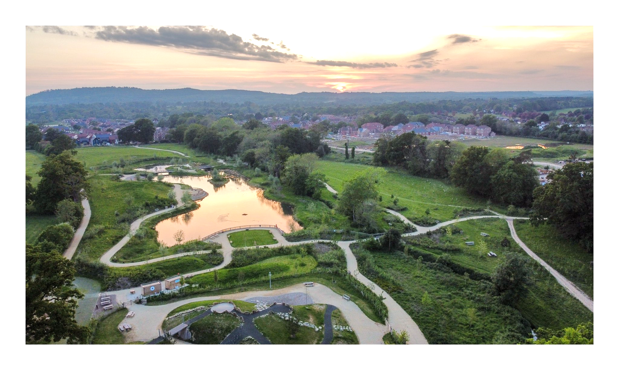
Water Environment designed the landscaping groundworks for the lake and amenity features at Knowle Park, coordinated with the river design and drainage strategy for the site.
Bicester Town Centre, Oxfordshire
River Diversion · Earthworks Design · Hydraulic Modelling · Environmental Permitting
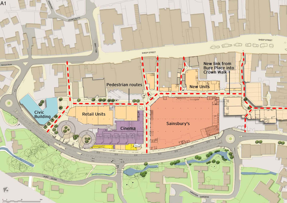
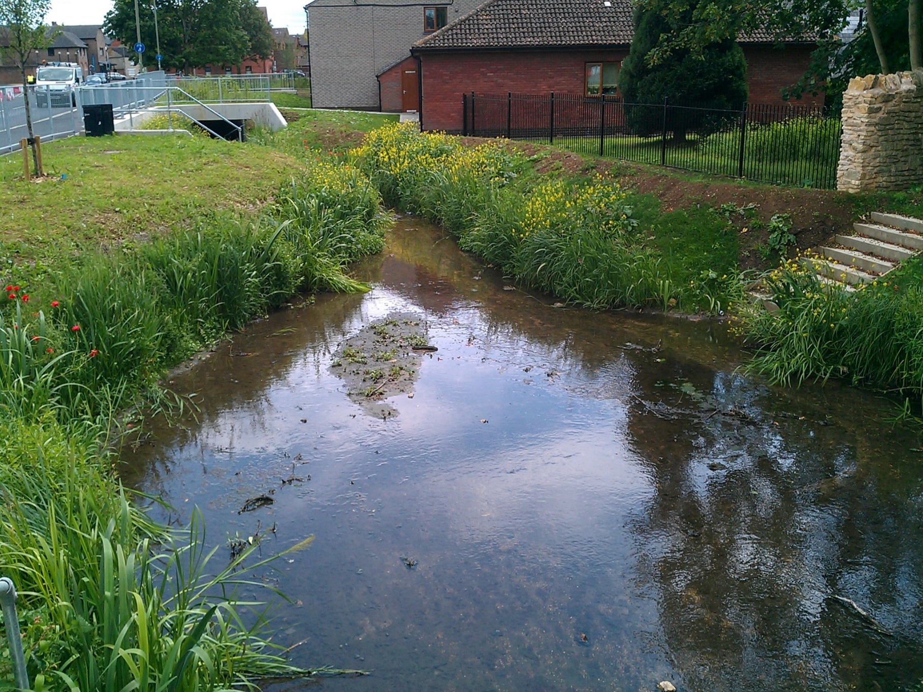
Major earthworks to relocate 180m of the canalised River Bure, reshape the surrounding floodplain, and create new ecological habitat as part of Bicester town centre's regeneration.
Norton Bridge
Flood Defence Design · Earthworks Design · River Design · Environmental Permitting
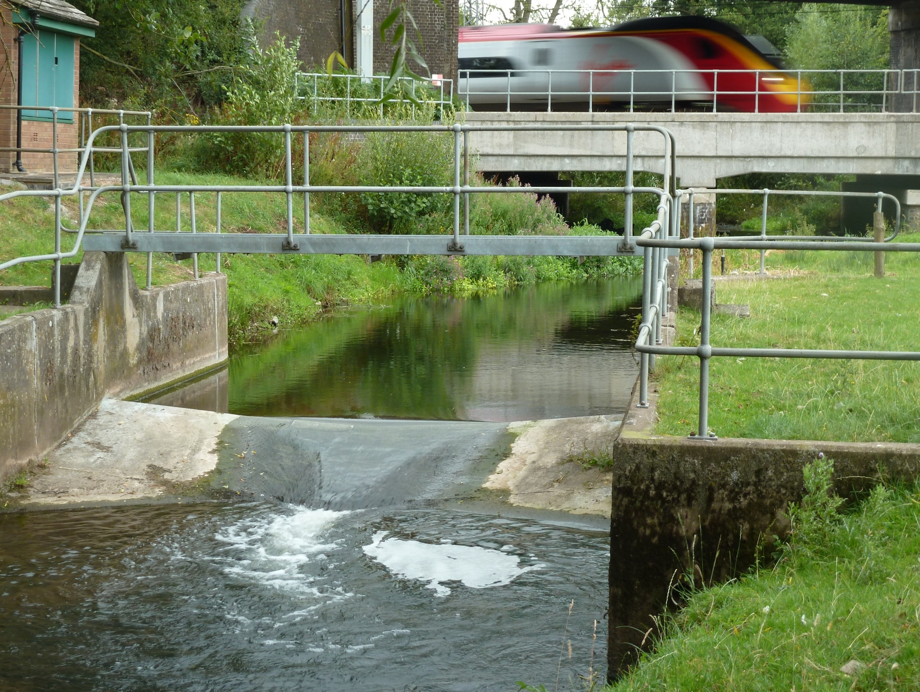
Water Environment provided earthworks design for flood defence embankments and floodplain compensation at Norton Bridge.
Wey and Arun Canal
Earthworks Design · River Design · Hydraulic Modelling · WFD Assessment
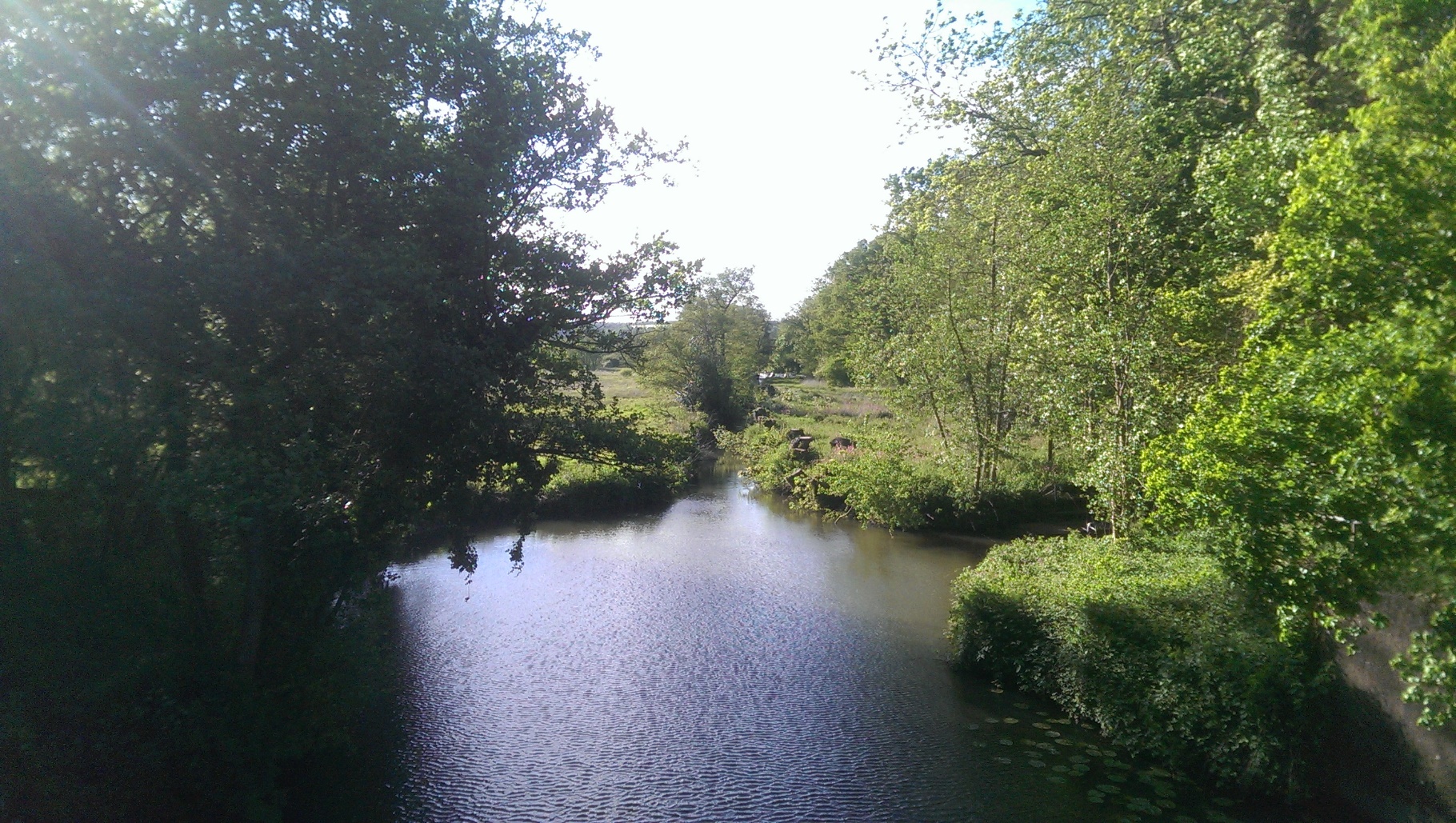
Earthworks design for canal restoration and associated floodplain works, coordinated with hydraulic modelling and Water Framework Directive assessment.
Winchelsea Landscape Revival
Earthworks Design · Landscape Amenity Drainage · EIA · Water Resources Assessment
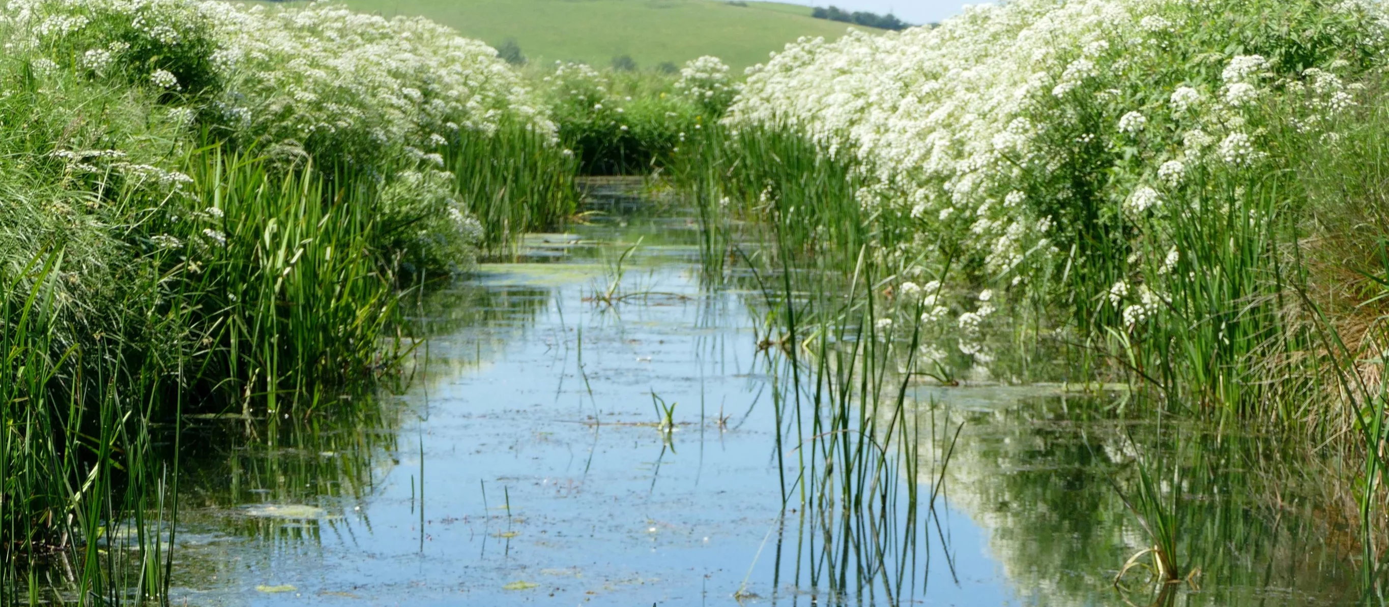
Earthworks design for habitat creation and biodiversity net gain at Crutches Farm, East Sussex, forming part of the National Trust and National Highways off-site BNG scheme.
Land North of Queens Mead
Earthworks Design · Flood Risk Assessment · SuDS Design · Roads
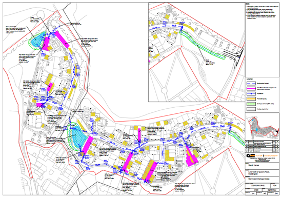
Cut and fill optimisation and grading design coordinated with the SuDS strategy and road levels for this residential development.