Hydrology & Hydraulic Modelling
Accurate estimation of flood flows and extents underpins every flood risk project we undertake. Water Environment holds a comprehensive suite of hydrological and hydraulic modelling tools, and our engineers have the expertise to apply them to simple river channels and complex urban systems alike.
Hydrological Modelling
Estimation of flood hydrology requires the calculation of river flow peaks (or hydrographs) from observed or modelled design floods of a specified return period. In the UK, hydrological modelling is undertaken using standard guidance from the Flood Estimation Handbook (FEH) and subsequent updates. This modelling uses catchment characteristics in combination with UK rainfall estimates to predict the likely flood water runoff during a heavy rainfall event.
At Water Environment, we hold a wide range of hydrological software, including the latest versions of the Flood Estimation Handbook and WINFAP-FEH for statistical modelling in the UK. Our expert team are up-to-date on the newest FEH and ReFH2 methodologies. We also undertake hydrological modelling using a wide range of other engineering techniques for any part of the world, including drought analysis and reservoir sizing.
Hydraulic River Modelling
The Environment Agency's Flood Zone maps represent large areas and are often inaccurate or lacking in detail at a site-specific level. As such, sometimes sites are shown to be within the floodplain when in fact they are not. Detailed, bespoke hydraulic modelling can sometimes unlock an otherwise undevelopable site.
We have invested in the latest available 1D and 2D software for modelling river hydraulics including Flood Modeller Pro, TUFLOW and InfoWorks ICM. Our staff have expert and in-depth knowledge in the use of this software, including advanced result presentation and analysis, in order to demonstrate flood risk issues and assist in design solutions. Our experience includes modelling river channels, complex floodplains, culverts and bridges, sewer systems and surface water flooding.
Breach and Overtopping Analysis
Where development is proposed behind or adjacent to flood defences, a breach and overtopping analysis may be required to demonstrate safe flood warning and evacuation in a worst-case defence failure scenario. Water Environment has extensive experience of breach modelling and can produce detailed inundation mapping and hazard assessments in support of planning applications and resilience planning.
Sewer Network and Surface Water Modelling
InfoWorks ICM enables fully integrated modelling of both the underground sewer network and the above-ground surface water flooding it feeds. We use this capability to assess sewer capacity, identify points of surcharge, and model the interaction between pipe drainage and overland flow pathways, providing an evidence base for network upgrades and sustainable drainage strategies.
How we work
- Data gathering — we collect catchment data, topographic and channel survey, gauged records and any existing Environment Agency models for the watercourse.
- Hydrology — we derive design flood flows for the required return periods using FEH, WINFAP-FEH and ReFH2, including the appropriate climate change allowances.
- Hydraulic modelling — we build and calibrate the 1D, 2D or integrated model in Flood Modeller Pro, TUFLOW or InfoWorks ICM, and verify it against observed events where data exists.
- Analysis and mapping — we produce flood levels, extents, depth and hazard mapping, and test design options or defence performance against them.
- Reporting — we present the results in a clear technical report suitable for planning, Environment Agency review, or scheme design.
Why Water Environment?
Our directors have a combined 40+ years of specialist experience in flood risk and hydrology, and modelling is at the core of what we do. We have invested in the full range of industry-standard software — FEH, WINFAP-FEH, ReFH2, Flood Modeller Pro, TUFLOW and InfoWorks ICM — and use it daily on everything from single-site flood risk assessments to major flood defence schemes. We work across all of England and Wales, and our models stand up to scrutiny from the Environment Agency and Lead Local Flood Authorities.
We are members of the Chartered Institution of Water and Environmental Management (CIWEM) and hold professional qualifications with the Institution of Civil Engineers (ICE).
Related Projects
Bicester Town Centre, Oxfordshire
River Diversion · Hydraulic Modelling · Flood Risk Assessment · Environmental Permitting
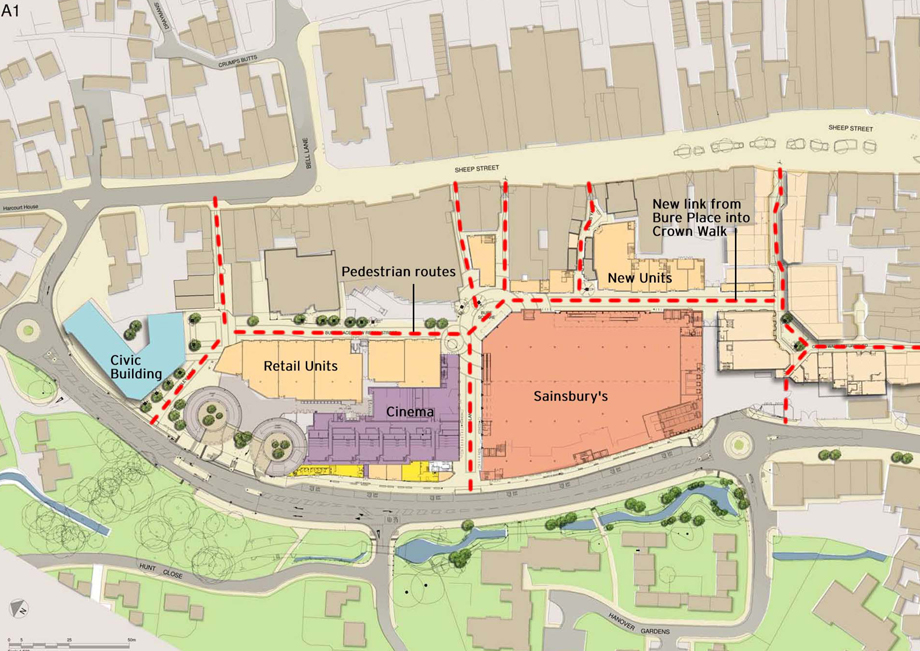
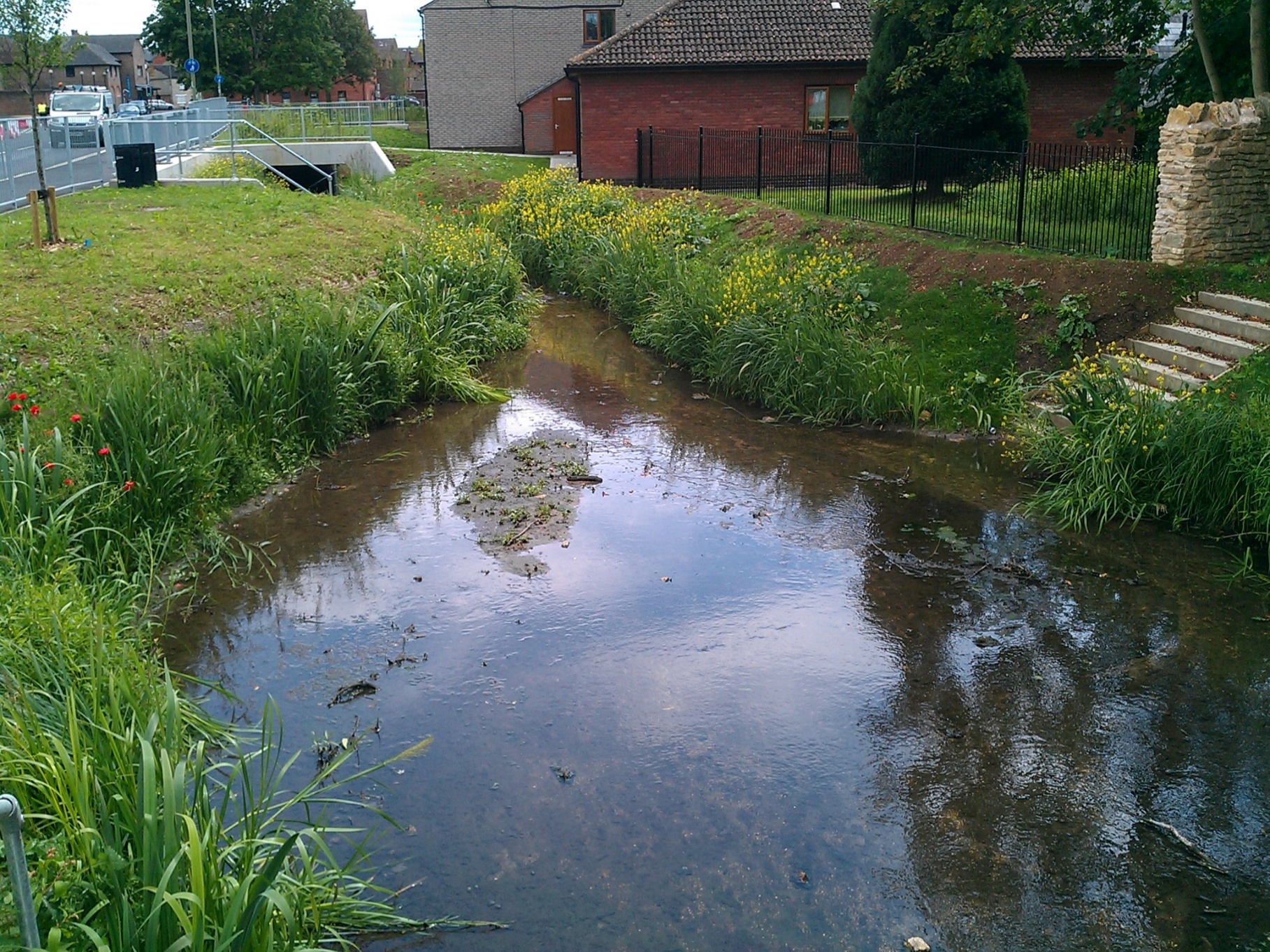
Water Environment led the river diversion and environmental design for Bicester Town Centre's major regeneration scheme, relocating 180m of the canalised River Bure and creating improved habitat.
Conningbrook Wetlands
Nutrient Neutrality · WFD Assessment · Hydraulic Modelling · River Design
Water Environment provided specialist consultancy services for this project.
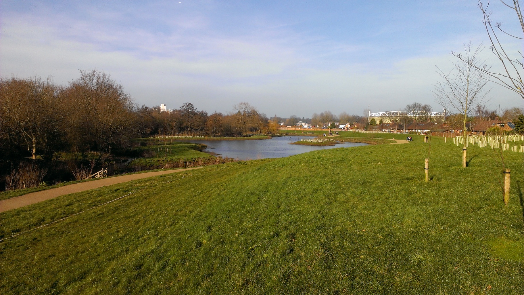
Hoe Valley Flood Defence, Woking
Flood Defence Strategy · Hydrology & Hydraulic Modelling · River Design · Earthworks Design
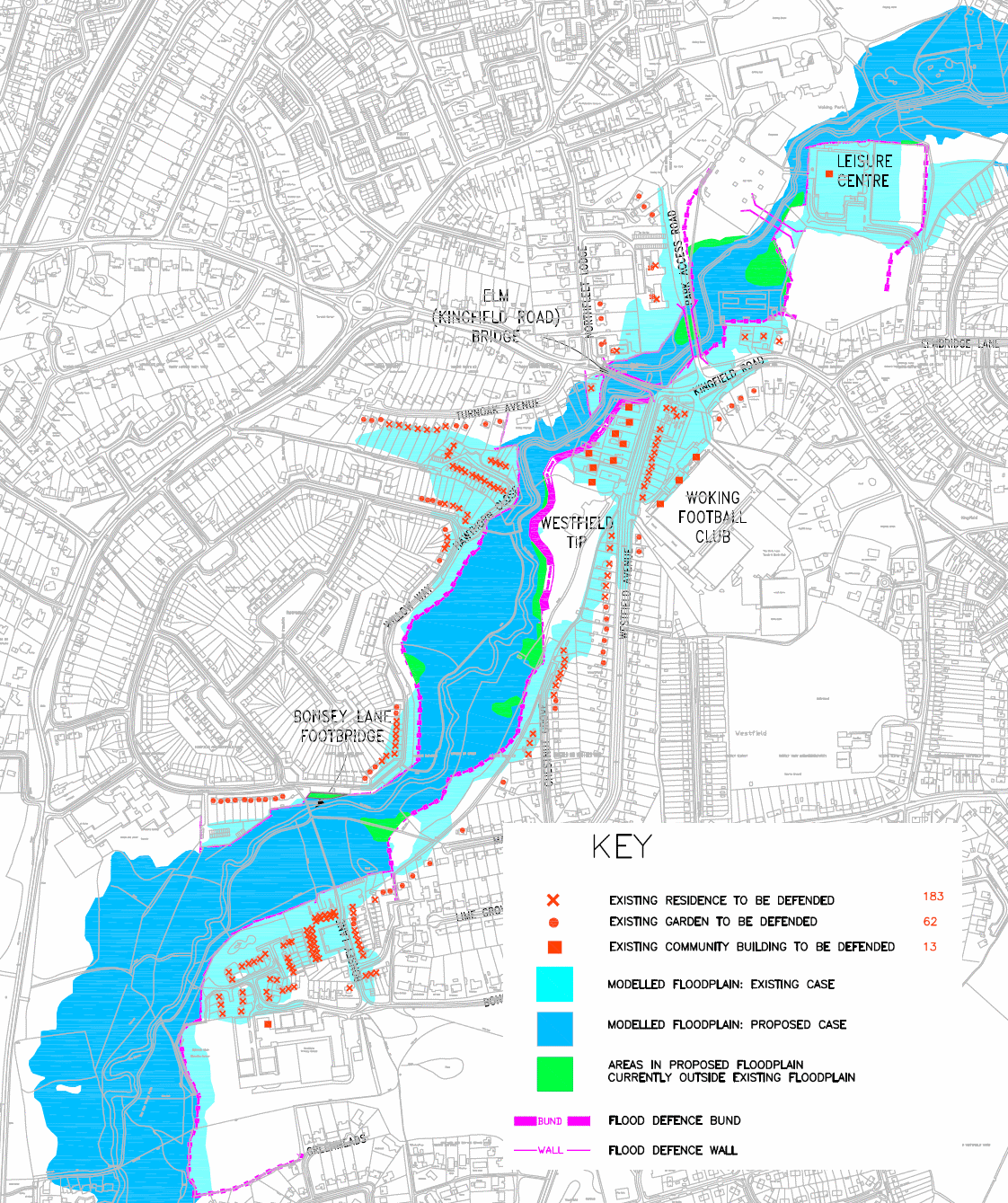
Water Environment worked with Woking Borough Council over four years to design and deliver a £60m linear park and flood defence scheme, protecting hundreds of homes from repeated flooding on the River Hoe.
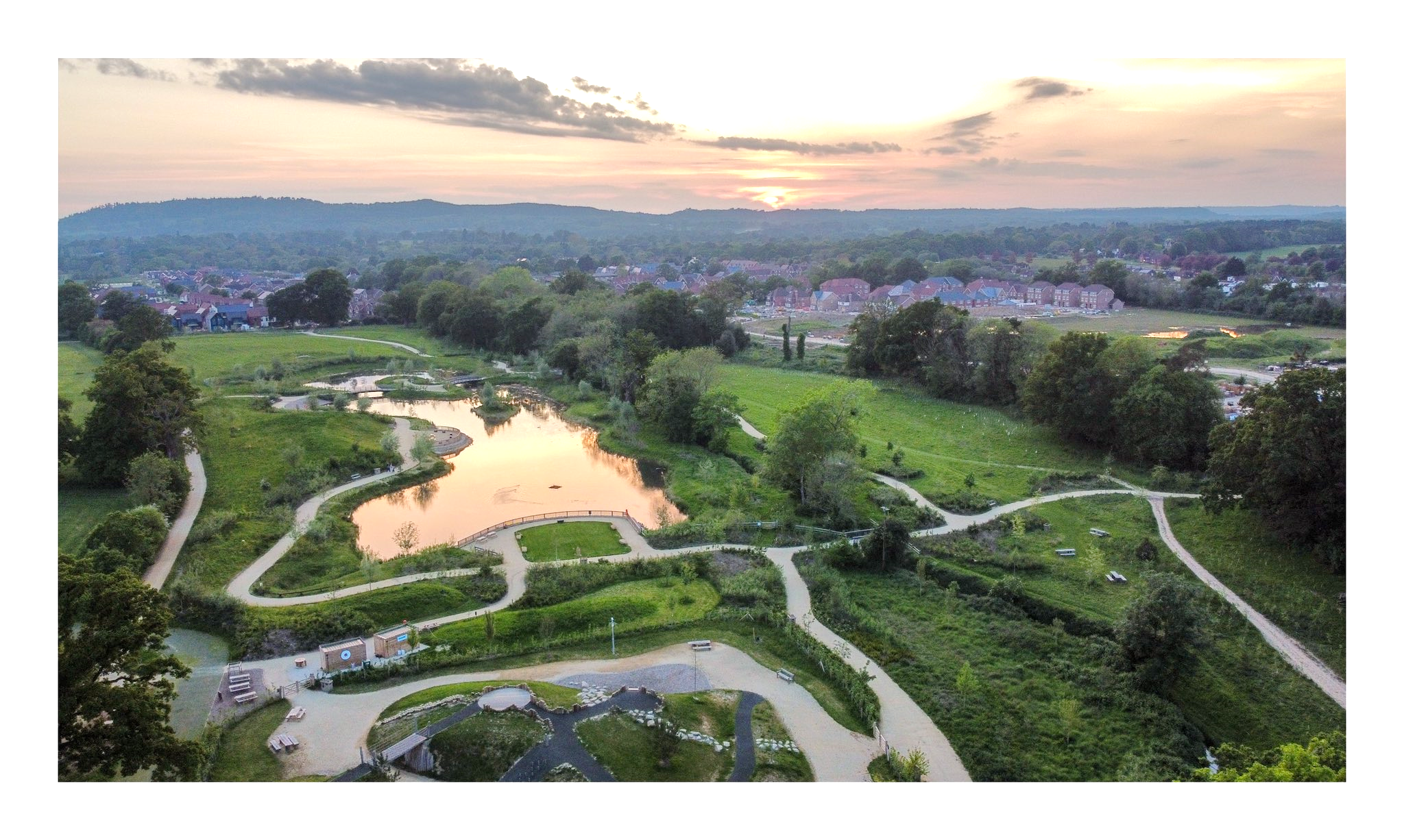
Knowle Park
Hydraulic Modelling · River Design · WFD Assessment · Geomorphology
Water Environment provided specialist consultancy services for this project.
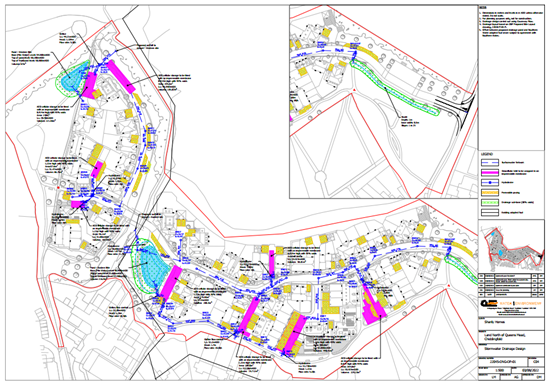
Land North of Queens Mead
Flood Risk Assessment · Hydraulic Modelling · SuDS Strategy · Roads
Water Environment provided specialist consultancy services for this project.
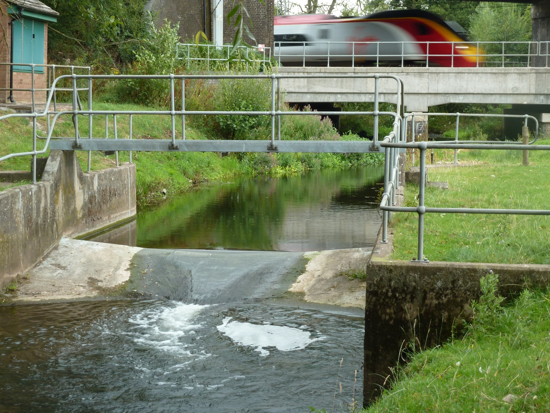
Norton Bridge
Hydraulic Modelling · River Design · WFD Assessment · Floodplain Compensation
Water Environment provided specialist consultancy services for this project.
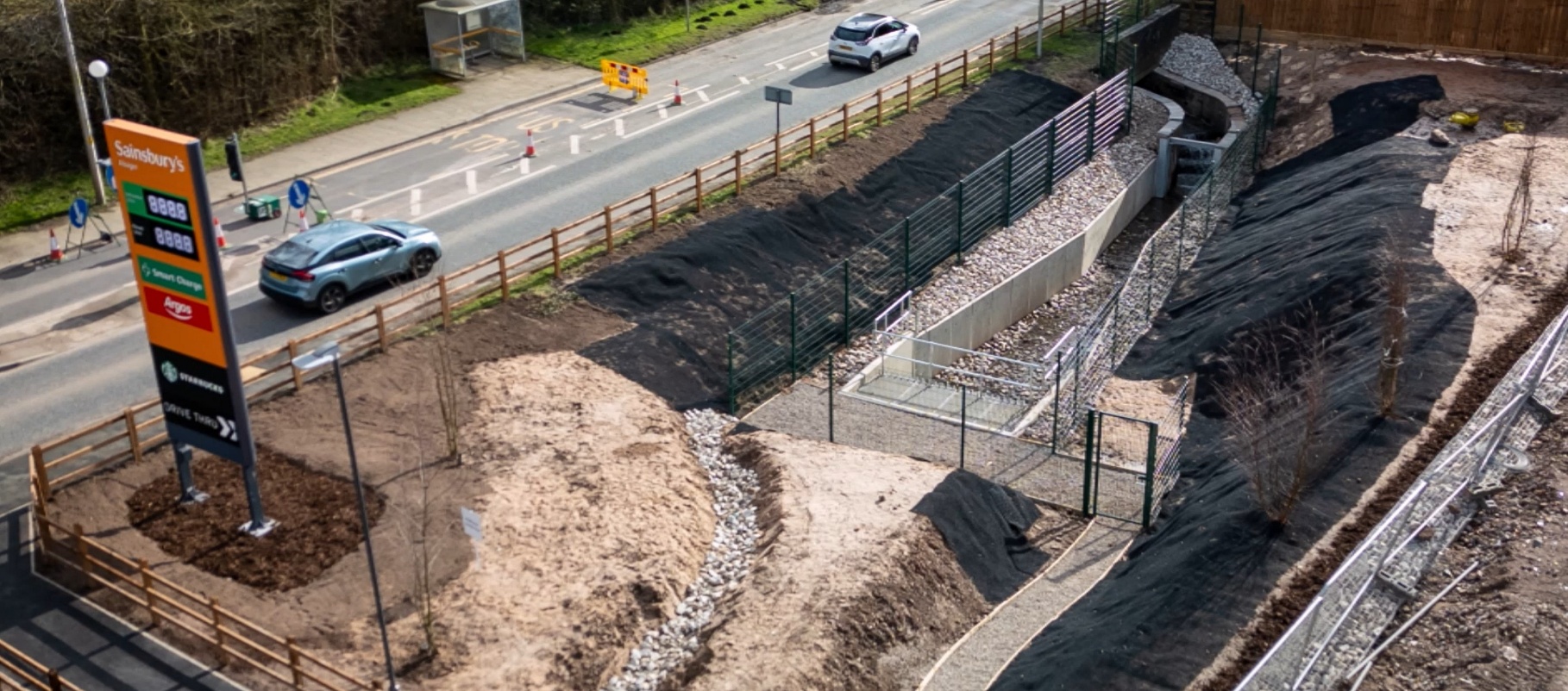
Sainsbury's Alsager
River Daylighting · Hydraulic Modelling · Flood Investigation
Water Environment provided specialist consultancy services for this project.
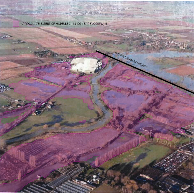
Sandy, Bedfordshire
Hydraulic Modelling · Flood Risk Assessment · SuDS Strategy · Groundwater
Water Environment provided specialist consultancy services for this project.
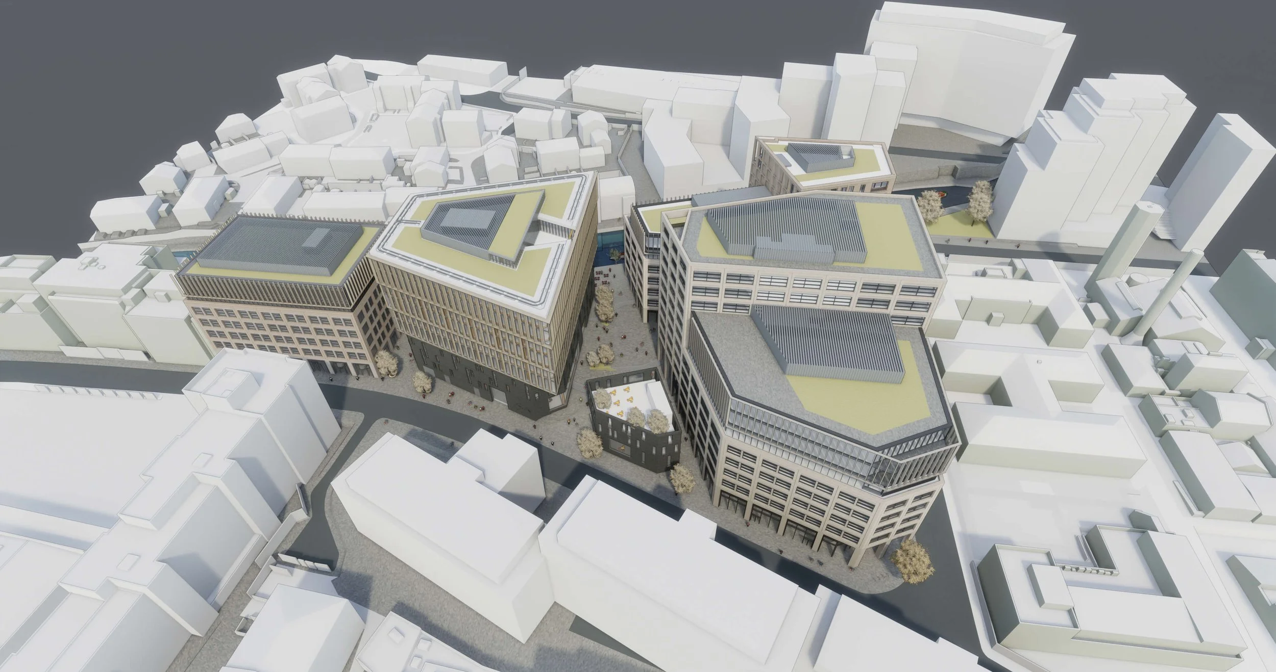
Tribeca London
Flood Risk Assessment · Hydraulic Modelling · Sustainable Drainage (SuDS) Strategy · Nature-Based Solutions
Water Environment designed an innovative FRA and SuDS strategy for Reef Group's London life-sciences and residential scheme, using advanced blue/green roofs to meet strict sewer discharge limits.
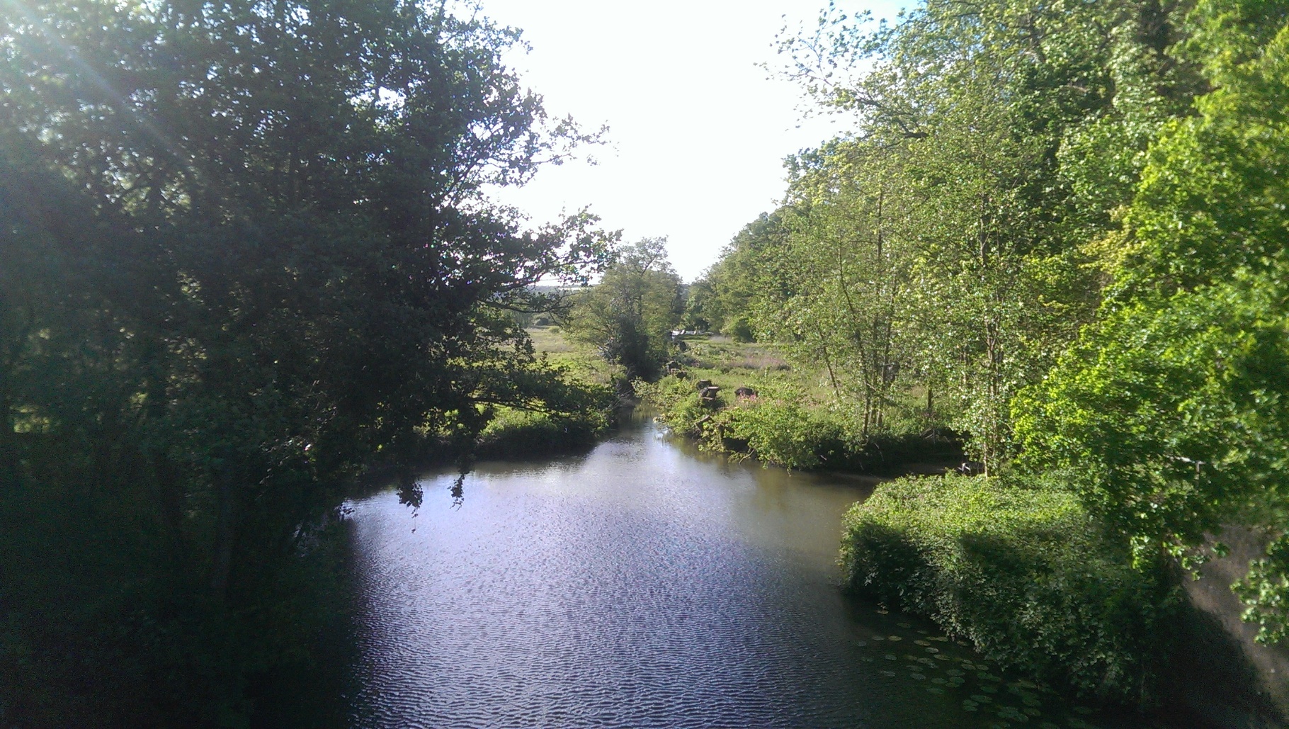
Wey and Arun Canal
Hydraulic Modelling · Flood Risk Assessment · River Design · WFD Assessment
Water Environment provided specialist consultancy services for this project.
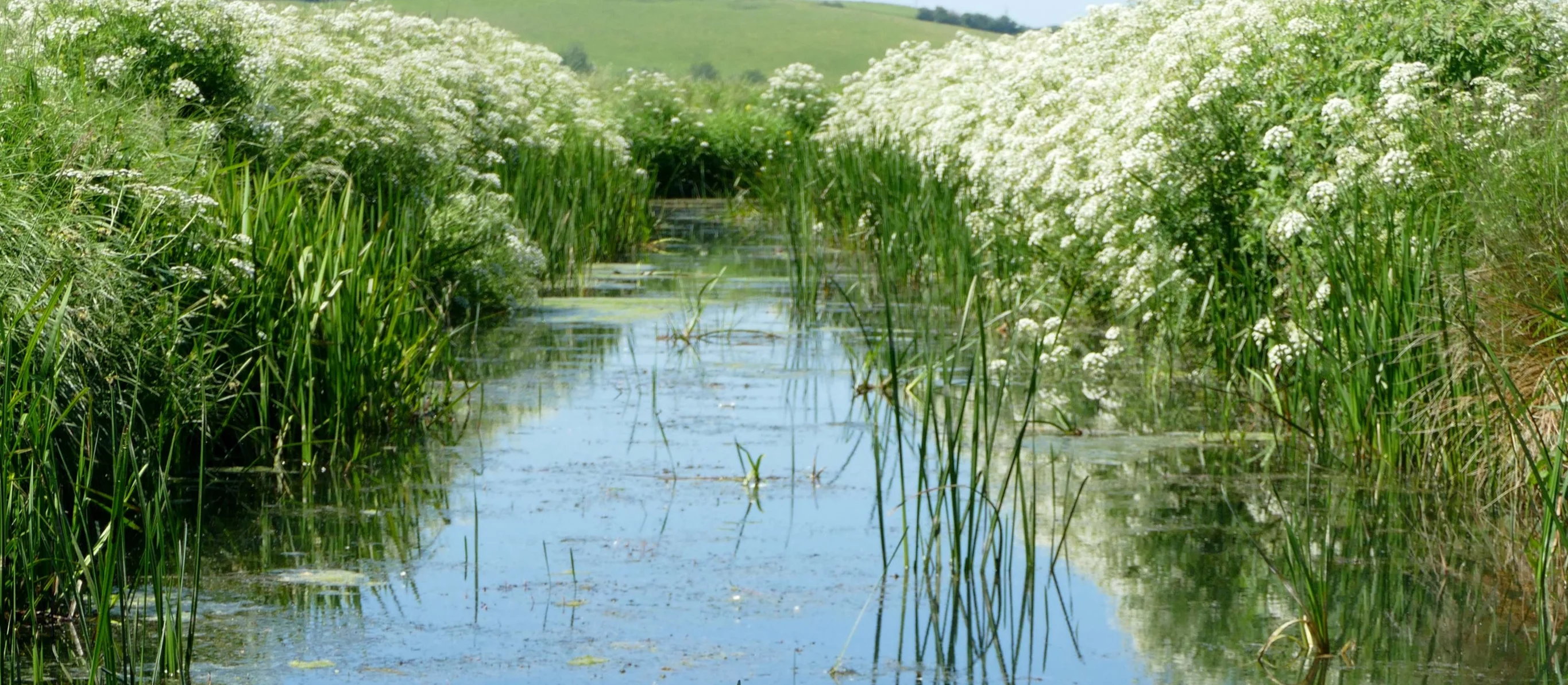
Winchelsea Landscape Revival
Flood Risk Assessment · Hydrological Modelling · Environmental Impact Assessment · Nature-Based Solutions
Water Environment assessed water features for the National Trust at Crutches Farm, East Sussex. The National Highways joint project delivers off-site biodiversity credits to meet UK BNG requirements.