Chartham RCA
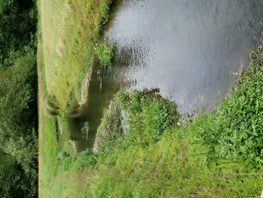
The watercourse flows through agricultural fields, predominantly used for livestock grazing, before joining the Great Stour River downstream. Three survey sub-reaches were identified, which aimed to provide good coverage throughout the site.
Client: Kent Mitigation Limited
Status: Completed Summer 2025
Services
Flood Risk Services
- Flood Risk Assessment (FRA)
- Sustainable Drainage Strategy
- Flood Defence (Mitigation) Strategy
- Flood Investigation
- Hydrology & Hydraulic Modelling
- Flood Emergency Plan
- Basement Impact Assessment (BIA)
- Groundwater Flooding
- Expert Witness
Environmental Services
- Nutrient Neutrality
- Flow & Water Quality Monitoring & Sampling
- River Geomorphological Survey & Assessment
- Water Framework Directive (WFD) Assessment
- Water Resources Assessment
- Environmental Impact Assessment (EIA)
- Air Quality Assessment (AQA)
- Catchment Management Plans
- Environmental Permits, Licences & Consents
- Expert Witness
Engineering Services
- Sewerage Design
- Sustainable Drainage Systems (SuDS) Design
- Landscape Amenity & Sport Facility Drainage
- Earthworks Design
- River Design
- Roads & Driveways
- Expert Witness
Project details
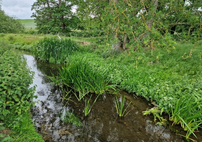
The RCA comprises both field-based (‘MoRPh’ survey) and desktop-based components. The aim is to link observed river features with the river typology determined. Together, these generate a final ‘condition score’ based on a range of measured and observed characteristics, ranging from ‘Poor’ to ‘Good’.
Across all three sub-reaches, the same negative indicators were observed. These were driven by heavy grazing pressure along the bank top by livestock, limiting bank top vegetation growth, and extensive coverage of the riverbed by filamentous algae. Both factors negatively influence the overall river condition.
In terms of positive features, the presence of side-bars and berms reflected a well-developed marginal zone, enhancing habitat and diversity across the channel. Adjacent to the Great Stour, high scores were recorded for bank top and channel margins, with good vegetation structure, extent and richness shown, increasing the ecological value.
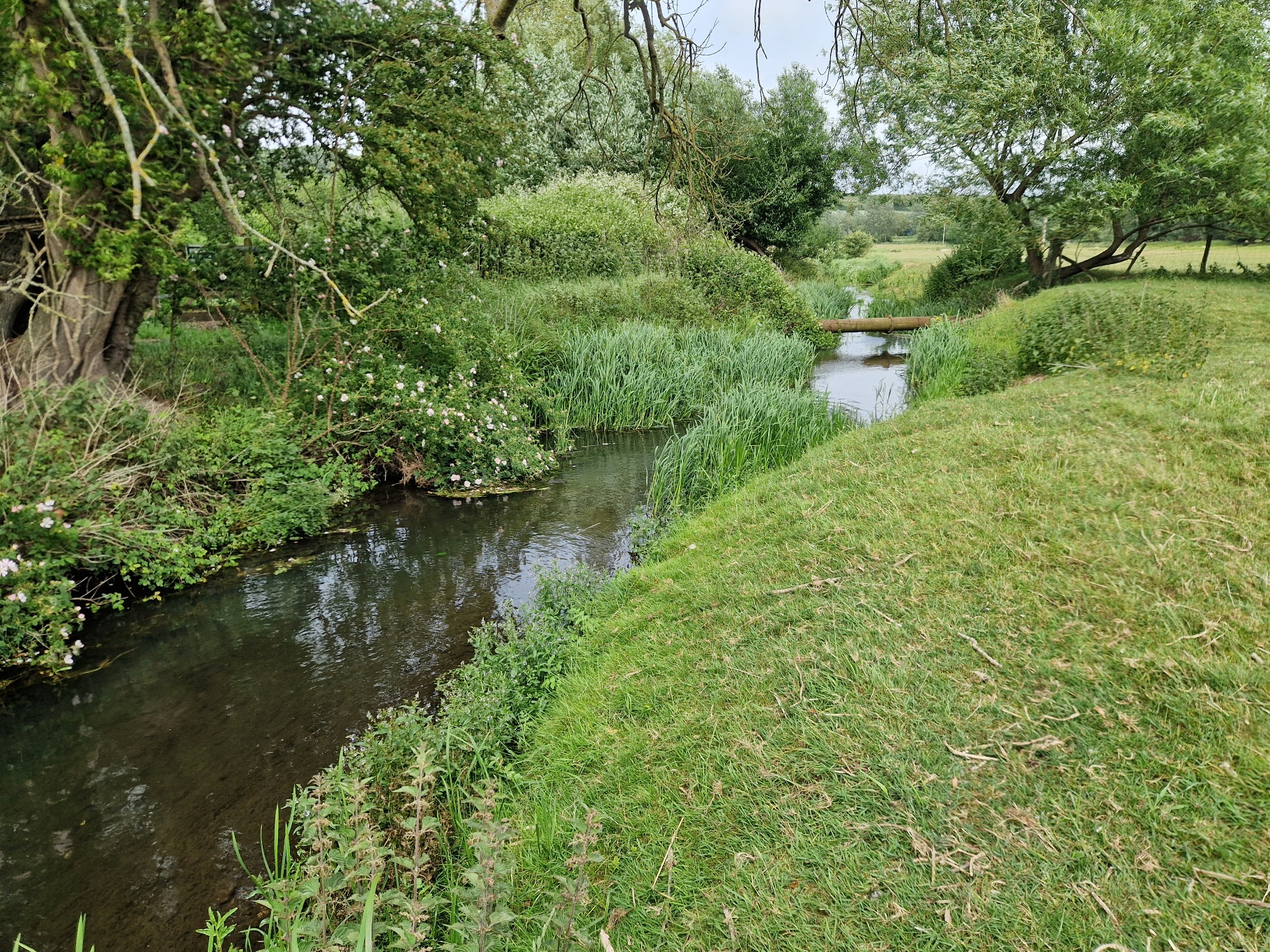
The river type assessment, which considers planform, gradient and bed material, concluded river ‘Type F – Straight and Sinuous’, as expected for a lowland river in this location.