River Geomorphological Survey & Assessments
An understanding of a river's physical character, its geomorphological processes and its ecological status is fundamental to the design of any works in or near a watercourse, and is required for WFD compliance, planning applications for Flood Risk Activity Permits, and habitat enhancement schemes. Water Environment undertakes a range of river survey and assessment services, from rapid walkover surveys to detailed geomorphological analyses.
River Corridor Walkover (RCW)
A systematic survey of the river corridor recording channel morphology, bank conditions, substrate, vegetation structure, land use and potential sources of pollution. River Corridor Walkovers are used to establish baseline conditions for planning applications, to identify geomorphological constraints ahead of engineering works, and to scope more detailed assessments where required.
River Condition Assessment (RCA)
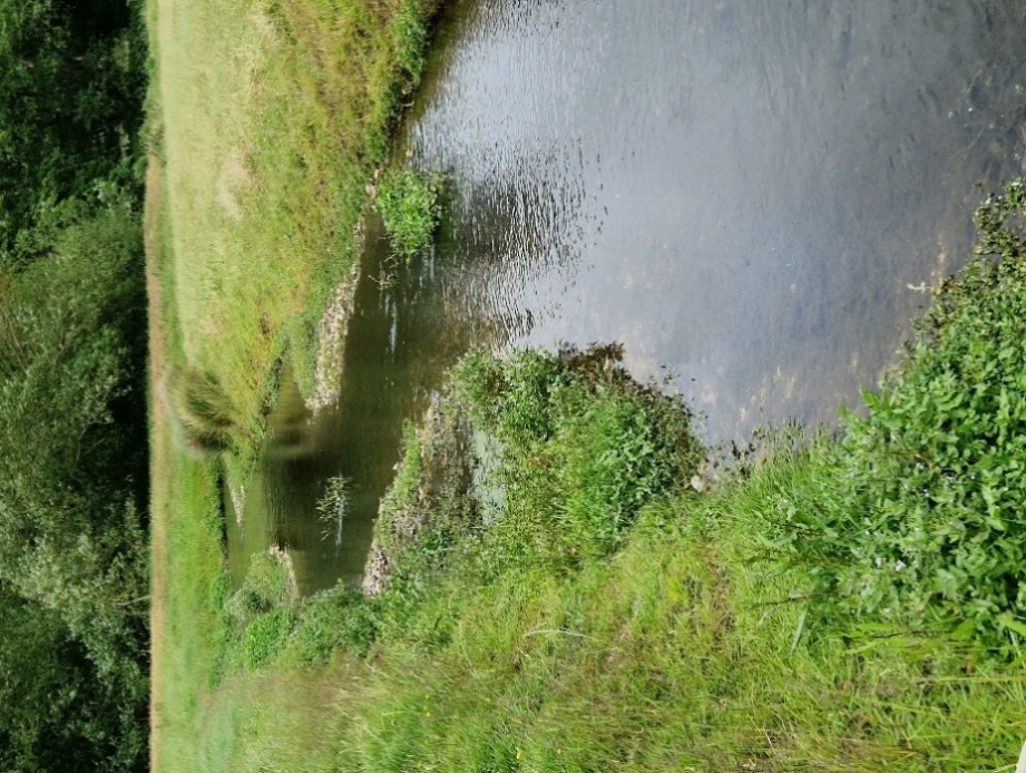
A structured assessment of channel form and process in relation to reference conditions, identifying the degree of modification and the potential for naturalisation. RCAs are used to demonstrate WFD compliance and to inform the design of restoration schemes where a channel has been historically modified or culverted.
River Habitat Survey (RHS)
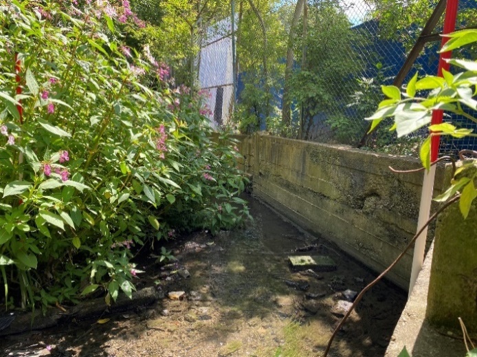
The standardised national monitoring and assessment methodology that quantifies the physical character of river channels and their adjacent habitats. The RHS produces a Habitat Quality Assessment (HQA) score and a Habitat Modification Score (HMS) which are used in WFD reporting, biodiversity assessments and Nature Recovery Network planning. Water Environment's practitioners are accredited RHS surveyors.
Fluvial Geomorphological Assessment (FGA)
A detailed analysis of river channel processes, including sediment transport, channel migration, bank erosion mechanisms and the river's likely response to hydrological change. FGAs are used to inform the design of river engineering works — including diversions, revetments and restoration schemes — and to assess the long-term stability of channels subject to altered flow regimes.
How we work
- Scoping — we establish what the survey needs to deliver, whether that is a baseline for planning, evidence for WFD compliance, or design input for works in the channel.
- Field survey — our accredited surveyors carry out the appropriate walkover, RCA or RHS survey, recording channel form, habitat and modification.
- Assessment — we analyse the data, score it against reference conditions, and assess the river's processes and likely response to change.
- Reporting and design input — we report the findings and feed the geomorphology directly into the design of river, restoration and flood works where required.
Why Water Environment?
Our practitioners are accredited RHS surveyors, but the real value is that the same team designs the river engineering the survey informs. We don't hand a geomorphology report over a wall — we use it ourselves to shape channel diversions, revetments and restoration schemes that work with the river's natural processes. We work across all of England and Wales.
We are members of the Chartered Institution of Water and Environmental Management (CIWEM) and hold professional qualifications with the Institution of Civil Engineers (ICE).
Related Projects
Bicester Town Centre, Oxfordshire
River Diversion · Hydraulic Modelling · Flood Risk Assessment · Environmental Permitting
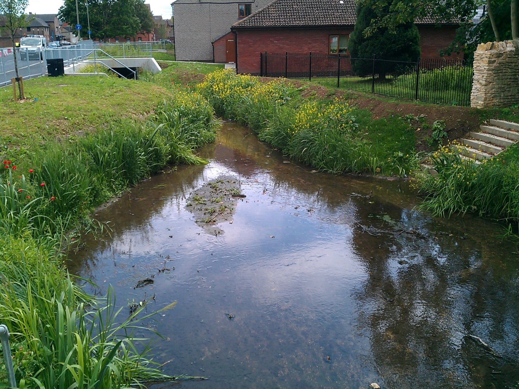
Water Environment led the river diversion and environmental design for Bicester Town Centre's major regeneration scheme, relocating 180m of the canalised River Bure and creating improved habitat.
Brooks Dye Works
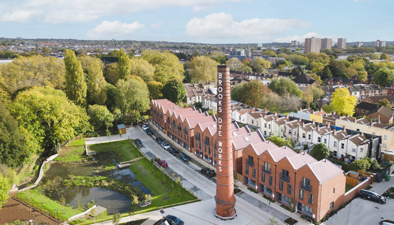
WFD Assessment · River Habitat Survey · River Design
Water Environment provided specialist consultancy services for this project.
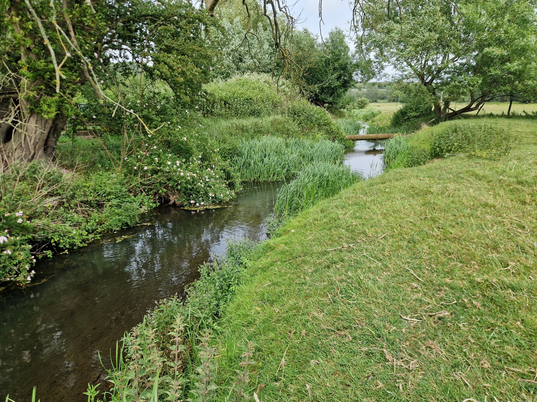
Chartham RCA
River Condition Assessment · Geomorphology
Water Environment provided specialist consultancy services for this project.
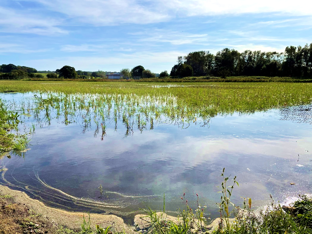
Conningbrook Wetlands
Nutrient Neutrality · WFD Assessment · Hydraulic Modelling · River Design
Water Environment provided specialist consultancy services for this project.
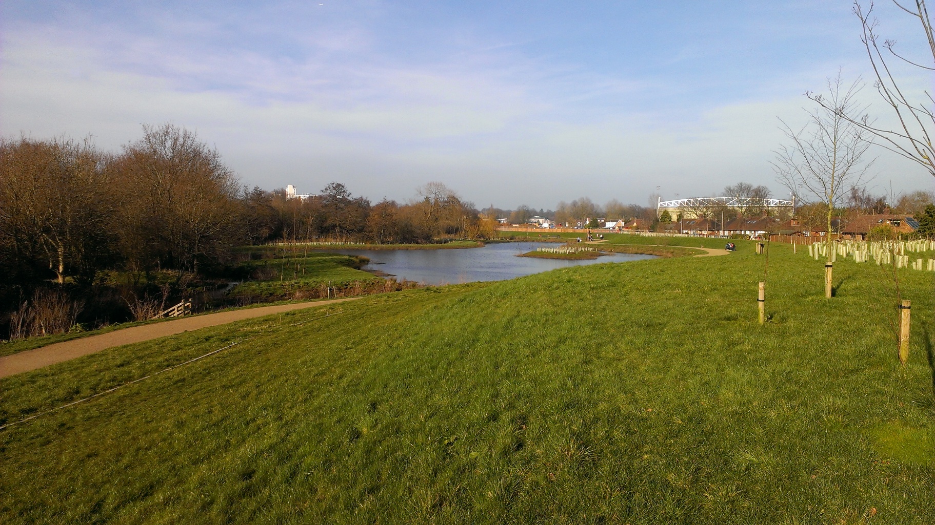
Hoe Valley Flood Defence, Woking
Flood Defence Strategy · Hydrology & Hydraulic Modelling · River Design · Earthworks Design
Water Environment worked with Woking Borough Council over four years to design and deliver a £60m linear park and flood defence scheme, protecting hundreds of homes from repeated flooding on the River Hoe.
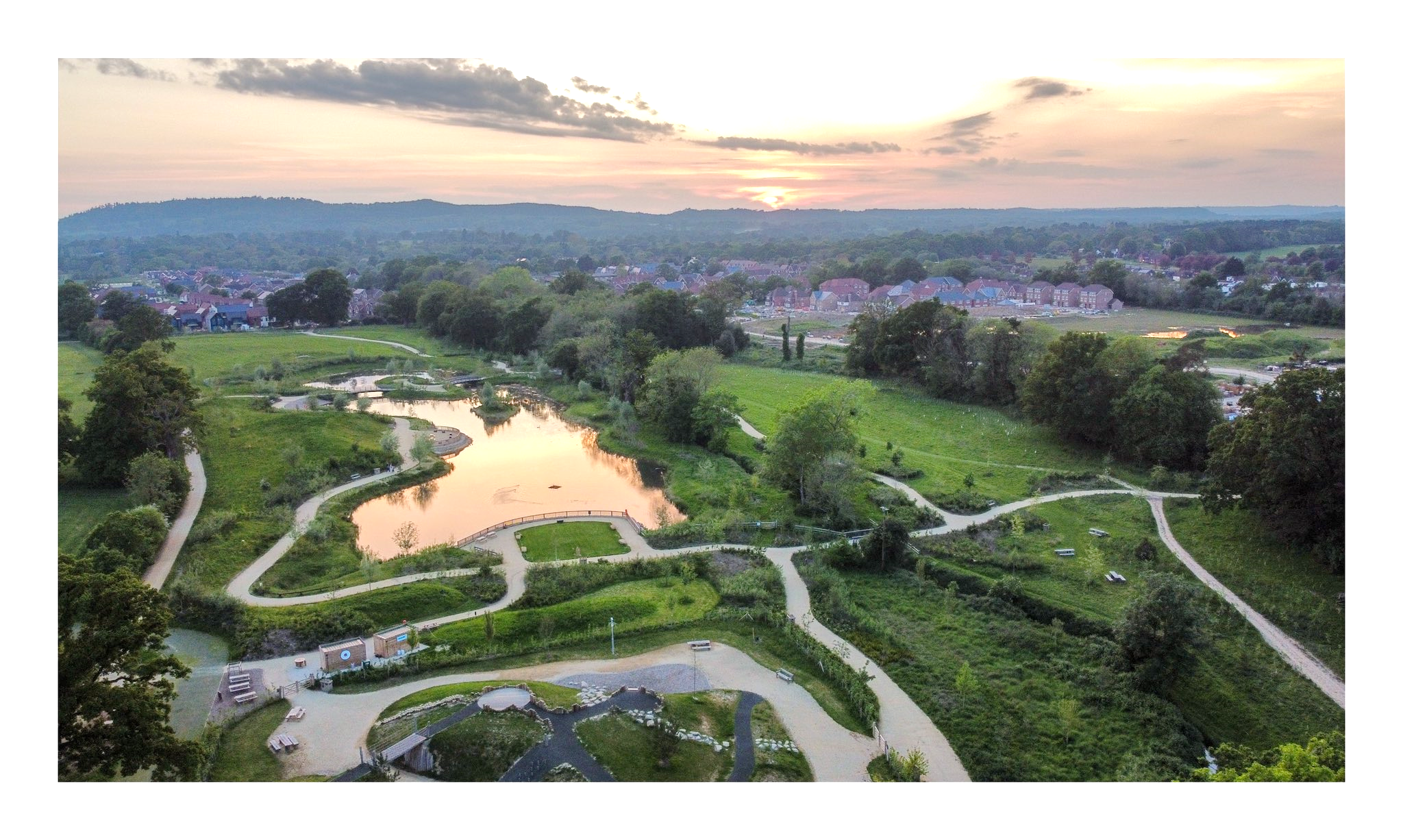
Knowle Park
Hydraulic Modelling · River Design · WFD Assessment · Geomorphology
Water Environment provided specialist consultancy services for this project.